Seaport · Saudi Arabia
JiddahSAJED
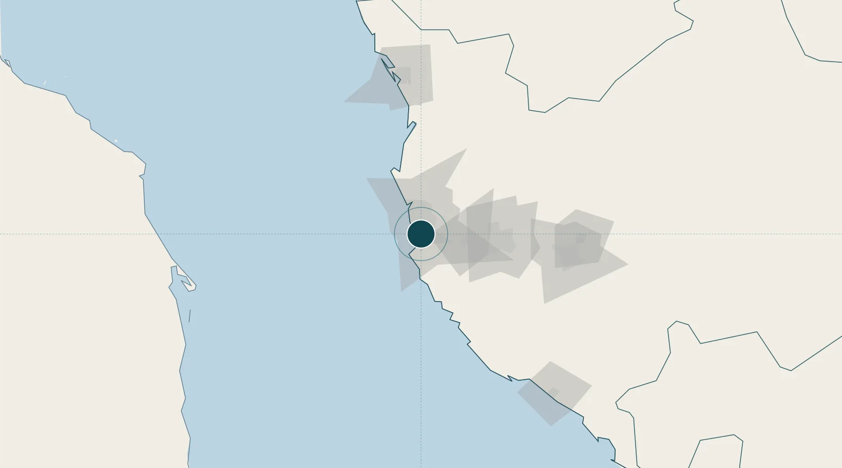
21.4833°, 39.1833°
15.5 m
Channel depth
2
Container terminals
403.1
Port liner connectivity
Channel & Berth Profile
Pilotage, Tugs & Services
Pilotage compulsoryYES
Pilotage availableYES
Pilotage advisableYES
Local assistanceYES
Tug assistanceYES
Shore powerYES
Potable waterYES
Diesel bunkersYES
MedicalYES
Garbage disposalYES
Facilities & Capabilities
Container—
Ro-Ro—
Liquid bulk—
Dry bulk—
Oil terminal—
Break bulk—
Dry dockNO
RepairsNO
BunkeringYES
Rail linkNO
Dangerous cargo—
ISPS security—
Harbour Specifications
Harbour size
Small
Harbour type
Coastal (Breakwater)
Shelter
Good
Water body
Red Sea; Indian Ocean
Tidal range
0.5 m
Overhead limit
No
Pilotage
Yes
Liner Connectivity
403.1
PLSCI
Port Liner Shipping Connectivity Index for Jiddah, as published by UNCTAD for the latest available quarter. Higher values indicate stronger scheduled liner-shipping integration.
Shown relative to the highest per-port PLSCI in the dataset (1,657.9).
Location
Container Terminals · 2
DP WORLD SOUTH CONTAINER TERMINAL JEDDAH (SCT)
DPW DP WORLD JEDDAH
RED SEA GATEWAY TERMINAL (RSGT)
RSGT
Nearby Logistics Neighbours
Ports
- 1Rabigh141 km
- 2Port Sudan292 km
- 3Yanbu312 km
- 4Sawakin Harbor324 km
- 5Jizan616 km
Cities
- 1Tusdeer Free Zone3 km
- 2Jeddah Yachts Club Port20 km
- 3Shuaibah95 km
- 4King Abdullah City110 km
- 5Gialtra163 km
Airports
Trade Zones
DatabookThe Record of Consolidated Knowledge
Saudi Arabia beyond logistics?