Seaport · Sudan

Sawakin HarborSDSSD

19.1333°, 37.3500°

Channel & Berth Profile

SEA LEVEL (CD)CHANNEL BEDCargo pier · 12.0 m
NGA World Port Index

Pilotage, Tugs & Services

Pilotage availableYES
NGA World Port Index

Facilities & Capabilities

Container
Ro-Ro
Liquid bulk
Dry bulk
Oil terminal
Break bulk
Dry dock
Repairs
Bunkering
Rail link
Dangerous cargo
ISPS security
NGA World Port Index

Harbour Specifications
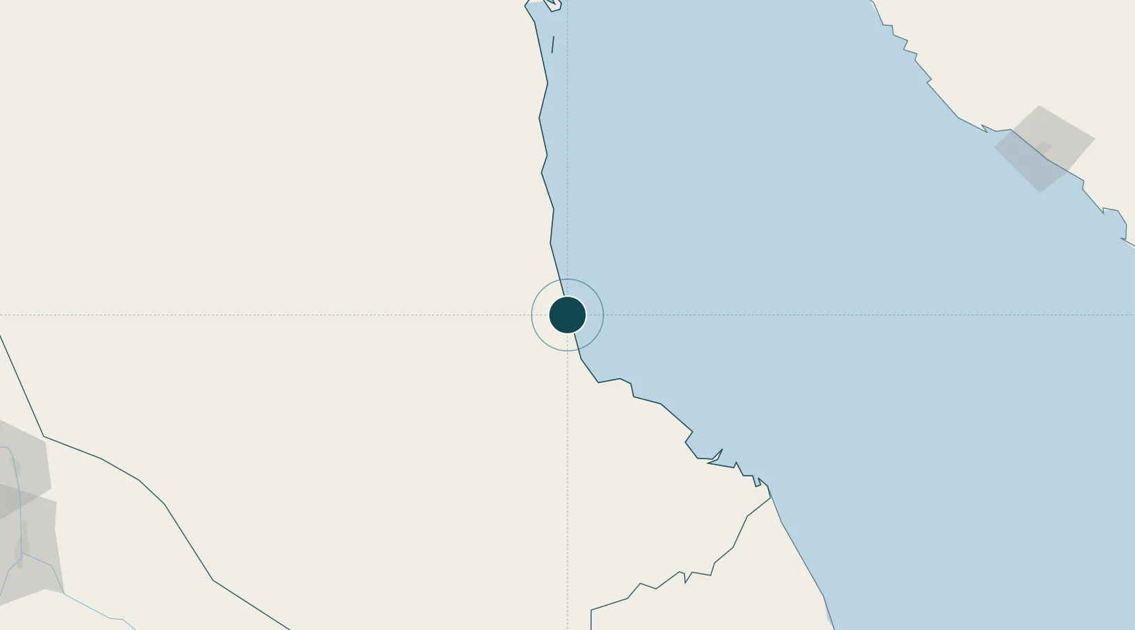
Harbour size
Small
NGA World Port Index
Harbour type
Coastal (Natural)
NGA World Port Index
Water body
Red Sea; Indian Ocean
NGA World Port Index

Location

Location of SDSSD
Natural Earth 10m (public domain) · Red Sea · SDSSD · 19.13, 37.35GoogleOSMYandex

Nearby Logistics Neighbours

Ports
  1. 1Port Sudan53 km
  2. 2Jiddah324 km
  3. 3Rabigh435 km
  4. 4Mitsiwa Harbor451 km
  5. 5Yanbu555 km
Nearest neighbours — logibook spatial index (haversine) over the source coordinates
Cities
  1. 1Marsa Bashayer28 km
  2. 2Port Sudan51 km
  3. 3Shuaibah285 km
  4. 4Jeddah313 km
  5. 5Tusdeer Free Zone322 km
Nearest neighbours — logibook spatial index (haversine) over the source coordinates
Airports
  1. 1Port Sudan New International Airport36 km
  2. 2King Faisal Naval Base311 km
  3. 3King Abdulaziz International Airport340 km
  4. 4Mecca East Airport376 km
  5. 5Taif International Airport423 km
Nearest neighbours — logibook spatial index (haversine) over the source coordinates
Trade Zones
  1. 1Suakin Free Zone2 km
  2. 2Red Sea Free Zone18 km
  3. 3Jeddah Industrial City (Second)295 km
  4. 4Jeddah Industrial City (Third)302 km
  5. 5Jeddah Industrial City (First)321 km
Nearest neighbours — logibook spatial index (haversine) over the source coordinates
DatabookThe Record of Consolidated Knowledge
Sudan beyond logistics?
Browse databook

All Sources

Portsthe NGA World Port Index
Public domain (US gov)
AirportsOurAirports
Public domain
LocationsUN/LOCODE
UN/LOCODE — free
Trade Zonesthe World Bank SEZ database
CC BY 4.0
Trade ZonesOpen Zone Map
CC BY
← Sudan ports