Seaport · Sudan
Port SudanSDPZU
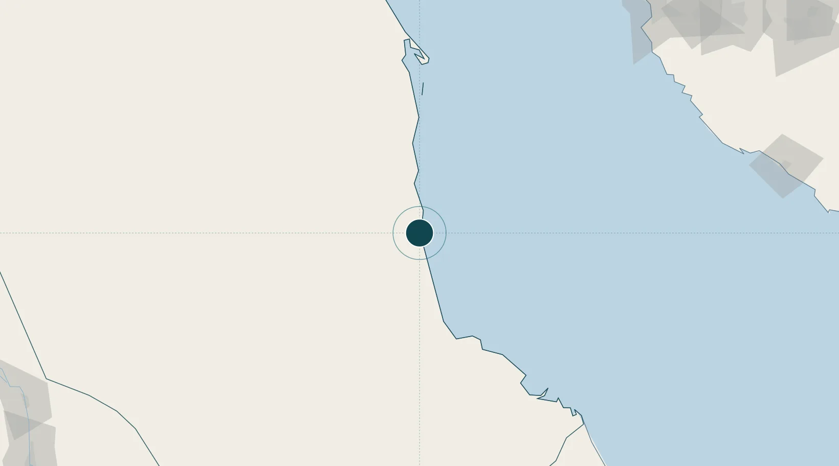
19.6000°, 37.2333°
25.6 m
Channel depth
1
Container terminals
64.4
Port liner connectivity
Channel & Berth Profile
Pilotage, Tugs & Services
Pilotage compulsoryYES
Pilotage availableYES
Pilotage advisableYES
Tug assistanceYES
Salvage tugsYES
Shore powerYES
Potable waterYES
Diesel bunkersYES
MedicalYES
Garbage disposalNO
Facilities & Capabilities
Container—
Ro-Ro—
Liquid bulk—
Dry bulk—
Oil terminal—
Break bulk—
Dry dock—
RepairsNO
BunkeringYES
Rail linkYES
Dangerous cargo—
ISPS security—
Harbour Specifications
Harbour size
Medium
Harbour type
Coastal (Breakwater)
Shelter
Excellent
Water body
Red Sea; Indian Ocean
Tidal range
0.1 m
Overhead limit
No
Pilotage
Yes
Liner Connectivity
64.4
PLSCI
Port Liner Shipping Connectivity Index for Port Sudan, as published by UNCTAD for the latest available quarter. Higher values indicate stronger scheduled liner-shipping integration.
Shown relative to the highest per-port PLSCI in the dataset (1,657.9).
Location
Container Terminals · 1
SOUTH PORT CONTAINER TERMINAL
SPC SEA PORT CORPORATION
Nearby Logistics Neighbours
Ports
- 1Sawakin Harbor53 km
- 2Jiddah292 km
- 3Rabigh393 km
- 4Mitsiwa Harbor502 km
- 5Yanbu506 km
Cities
- 1Marsa Bashayer25 km
- 2Shuaibah267 km
- 3Jeddah282 km
- 4Tusdeer Free Zone289 km
- 5Jeddah Yachts Club Port300 km
Airports
Trade Zones
- 1Red Sea Free Zone35 km
- 2Suakin Free Zone55 km
- 3Jeddah Industrial City (Second)268 km
- 4Jeddah Industrial City (Third)276 km
- 5Jeddah Industrial City (First)289 km
DatabookThe Record of Consolidated Knowledge
Sudan beyond logistics?