Free Trade Zone · Sudan
Mokhalif Free Zone Active
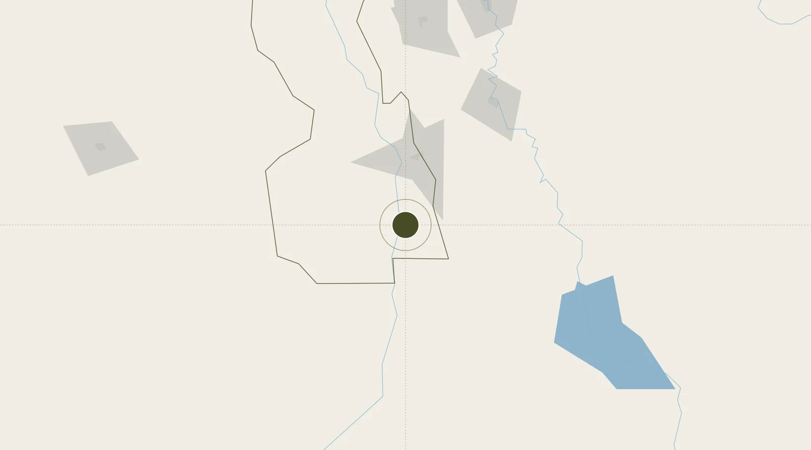
12.5011°, 32.8404°
490 ha
Zone area
794.2 km
Nearest port
222.4 km
Nearest airport
Gateway access
Zone profile
Zone type
Free Trade Zone
Region
White Nile
Status
Active
Management
Public-Private Partnership
Operator
Sudanese Free Zones and Markets Co.
Legal framework
2009 Law on Free Zones & Regions
Location
Nearby Logistics Neighbours
Ports
- 1Mitsiwa Harbor794 km
- 2Sawakin Harbor881 km
- 3Port Sudan918 km
- 4Assab1076 km
- 5Ras Isa Marine Terminal1094 km
Airports
- 1Paloich Airport222 km
- 2El-Obeid Airport292 km
- 3Asosa Airport335 km
- 4Khartoum International Airport345 km
- 5Malakal International Airport352 km
Cities
- 1Rabak73 km
- 2Asmara729 km
- 3Massawa (Mitsiwa)792 km
- 4Mojo812 km
- 5Mojo Dry Port815 km
Trade Zones
- 1Al-Jabayn Free Zone10 km
- 2Kosti Free Zone72 km
- 3Garri Free Zone345 km
- 4Gallabat Free Zone363 km
- 5Bahir Dar Industrial Park500 km
DatabookThe Record of Consolidated Knowledge
Sudan beyond logistics?