Export Processing Zone · Chad

Djermaya Special Economic Zone Active
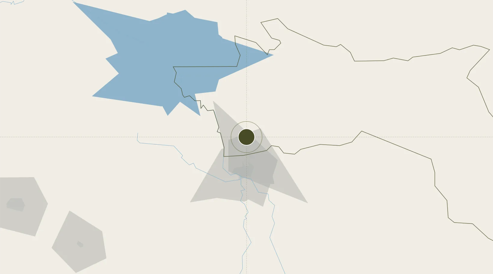
12.4127°, 15.0955°
100 ha
Zone area
1,104.0 km
Nearest port
31.7 km
Nearest airport

Gateway access

Nearest neighbours — logibook spatial index (haversine) over the source coordinates

Zone profile

Zone type
Export Processing Zone
Open Zone Map
Region
Hadjer-Lamis
Open Zone Map
Status
Active
Open Zone Map
Management
Private
Open Zone Map
Operator
Soluxe International
Open Zone Map
Legal framework
Section 2.38 of page 401 of Chad Annex 5
Open Zone Map

Location

Location of ozm-300
Natural Earth 10m (public domain) · Hadjer-Lamis · ozm-300 · 12.41, 15.10GoogleOSMYandex

Nearby Logistics Neighbours

Ports
  1. 1Douala1104 km
  2. 2Calabar1114 km
  3. 3Limboh Terminal1143 km
  4. 4Kole Oil Terminal1158 km
  5. 5Moudi Marine Terminal1175 km
Nearest neighbours — logibook spatial index (haversine) over the source coordinates
Airports
  1. 1N'Djamena International Airport32 km
  2. 2Maiduguri International Airport228 km
  3. 3Salak Airport236 km
  4. 4Garoua International Airport391 km
  5. 5Moundou Airport434 km
Nearest neighbours — logibook spatial index (haversine) over the source coordinates
Cities
  1. 1Chagoua37 km
  2. 2Garoua393 km
  3. 3Komé474 km
  4. 4Gombe489 km
  5. 5Borno511 km
Nearest neighbours — logibook spatial index (haversine) over the source coordinates
Trade Zones
  1. 1Banki Border Free Zone164 km
  2. 2Djamboutou Garoua Industrial Zone393 km
  3. 3Sebore Farms Export Processing Zone490 km
  4. 4Ngaoundere Industrial Zone588 km
  5. 5Maigatari Border Free Trade Zone616 km
Nearest neighbours — logibook spatial index (haversine) over the source coordinates
DatabookThe Record of Consolidated Knowledge
Chad beyond logistics?
Browse databook

All Sources

Trade ZonesOpen Zone Map
CC BY
Portsthe NGA World Port Index
Public domain (US gov)
AirportsOurAirports
Public domain
LocationsUN/LOCODE
UN/LOCODE — free
← Chad trade zones