Free Trade Zone · Sudan
Kosti Free Zone Under Development
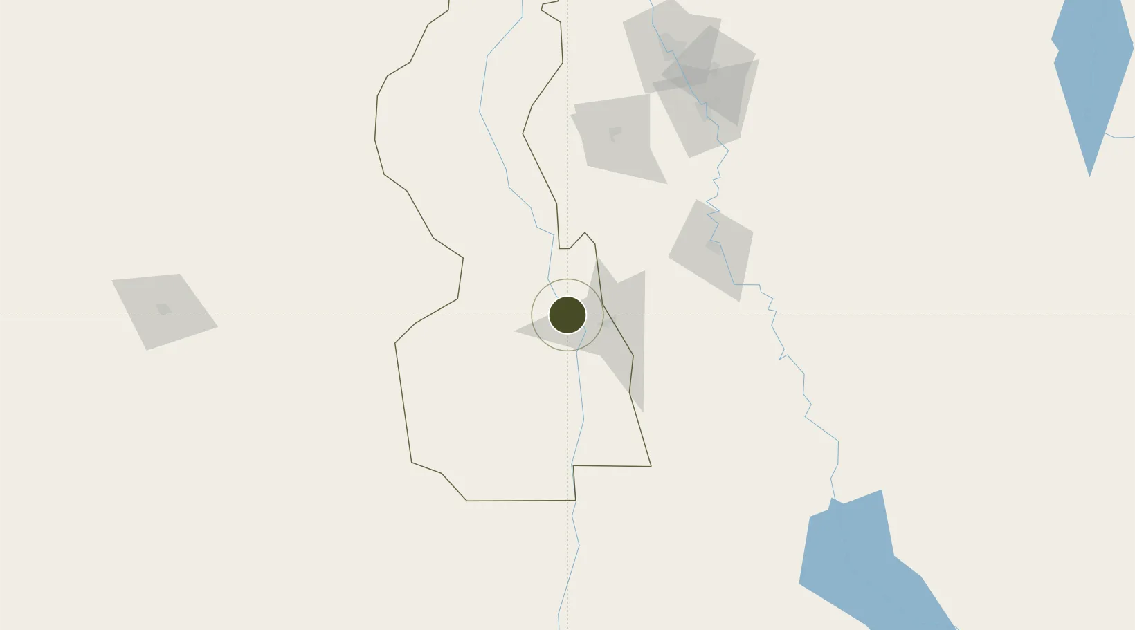
13.1366°, 32.6970°
186 ha
Zone area
779.5 km
Nearest port
266.8 km
Nearest airport
Gateway access
Zone profile
Zone type
Free Trade Zone
Region
White Nile
Status
Under Development
Management
Public-Private Partnership
Operator
Sudanese Free Zones and Markets Co.
Legal framework
2009 Law on Free Zones & Regions
Location
Nearby Logistics Neighbours
Ports
- 1Mitsiwa Harbor780 km
- 2Sawakin Harbor832 km
- 3Port Sudan866 km
- 4Assab1089 km
- 5Ras Isa Marine Terminal1091 km
Airports
- 1El-Obeid Airport267 km
- 2Khartoum International Airport273 km
- 3Paloich Airport291 km
- 4Wadi Seidna Air Base299 km
- 5Asosa Airport403 km
Cities
- 1Rabak4 km
- 2Asmara715 km
- 3Massawa (Mitsiwa)777 km
- 4Marsa Bashayer851 km
- 5Mojo864 km
Trade Zones
- 1Al-Jabayn Free Zone62 km
- 2Mokhalif Free Zone72 km
- 3Garri Free Zone273 km
- 4Gallabat Free Zone375 km
- 5Bahir Dar Industrial Park534 km
DatabookThe Record of Consolidated Knowledge
Sudan beyond logistics?