Medium airport · Sudan
El-Obeid AirportHSOB
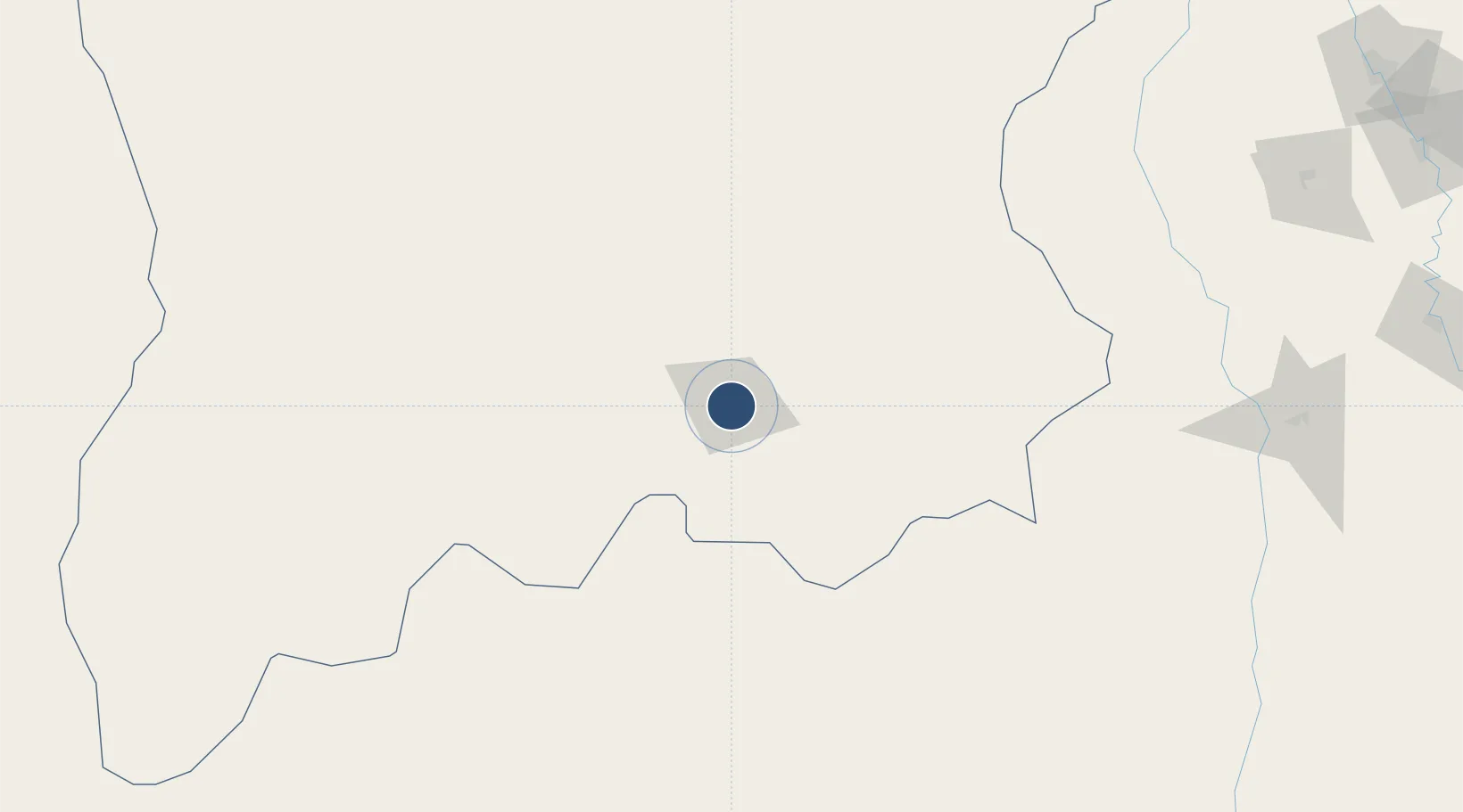
13.1532°, 30.2327°
9,843 ft
Longest runway
1
Runways
1,927 ft
Elevation
Runway & Layout

Radio Frequencies
TWR
118.5 MHz
TWR/APP
Navaids
OBD VOR-DME El Obeid 115.80 MHz
OBD NDB El Obeid 279 kHz
Runways · 1
| Runway | Dimensions | Surface | True heading | Lit |
|---|---|---|---|---|
| 01/19 | 9,843 × 148ft | Asphalt | 008° | ✓ |
Airport Specifications
IATA code
EBD
ICAO code
HSOB
Airport class
Medium airport
Scheduled service
Yes
Runway surface
Asphalt
Served city
El-Obeid
Location
Nearby Logistics Neighbours
Airports
- 1Khartoum International Airport369 km
- 2Paloich Airport382 km
- 3Wadi Seidna Air Base385 km
- 4Malakal International Airport429 km
- 5El Fasher Airport533 km
Cities
- 1Rabak271 km
- 2Soba943 km
- 3Asmara968 km
- 4Marsa Bashayer1024 km
- 5Massawa (Mitsiwa)1029 km
Ports
- 1Sawakin Harbor1010 km
- 2Mitsiwa Harbor1032 km
- 3Port Sudan1035 km
- 4Jiddah1326 km
- 5Ras Isa Marine Terminal1351 km
Trade Zones
- 1Kosti Free Zone267 km
- 2Al-Jabayn Free Zone286 km
- 3Mokhalif Free Zone292 km
- 4Garri Free Zone368 km
- 5Gallabat Free Zone641 km
DatabookThe Record of Consolidated Knowledge
Sudan beyond logistics?