Transport Functions
Multimodal
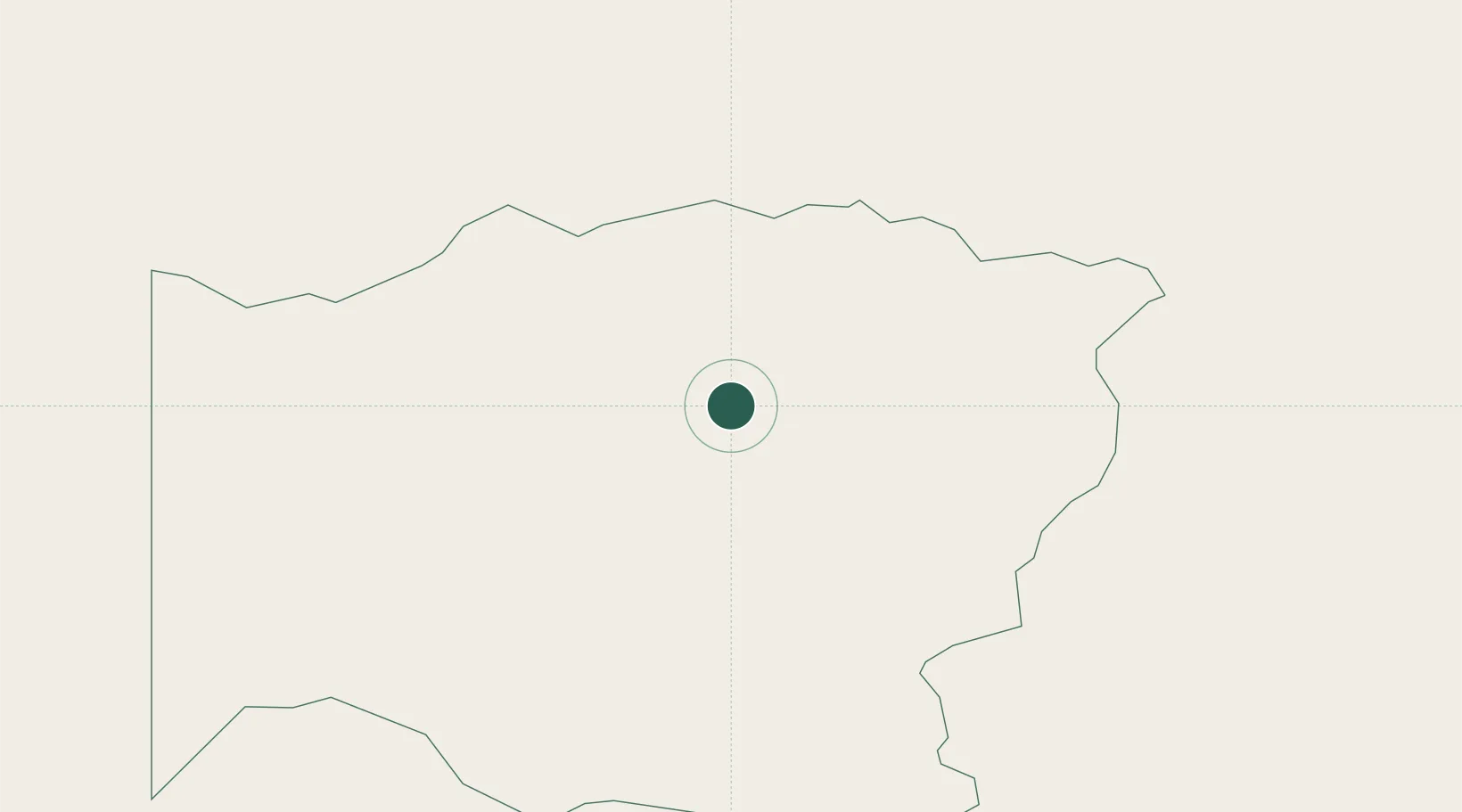
Hub Profile
Place type
Populated place
Region
Wadi Fira
Time zone
Africa/Ndjamena
Elevation
820 m
Location
Nearby Logistics Neighbours
Ports
- 1Safaja1784 km
- 2El Ghardaqa1814 km
- 3Douala1826 km
- 4Zeit Bay Terminal1845 km
- 5Calabar1872 km
Airports
- 1Abeche Airport197 km
- 2Sabera Geneina Airport225 km
- 3Ouadi Doum Air Base390 km
- 4Faya-Largeau Airport402 km
- 5El Fasher Airport428 km
Trade Zones
- 1Djermaya Special Economic Zone793 km
- 2Banki Border Free Zone943 km
- 3Djamboutou Garoua Industrial Zone1135 km
- 4Garri Free Zone1154 km
- 5Kosti Free Zone1202 km
DatabookThe Record of Consolidated Knowledge
Chad beyond logistics?