Transport Functions
Rail
Road
Hub Profile
Place type
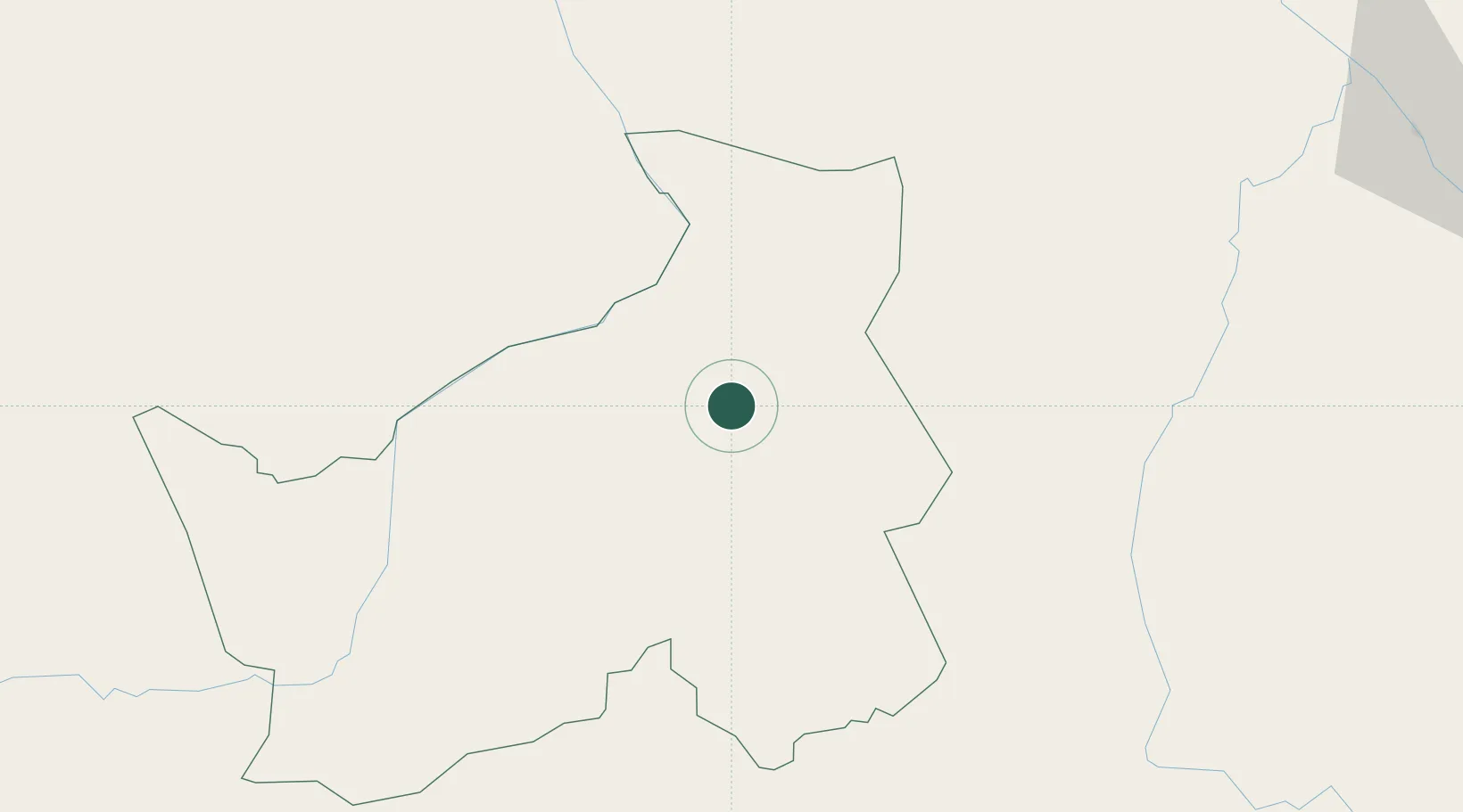
Populated place
Region
Logone Oriental
Time zone
Africa/Ndjamena
Elevation
402 m
Location
Nearby Logistics Neighbours
Cities
- 1Ngaoundéré365 km
- 2Garoua375 km
- 3Chagoua441 km
- 4Borno472 km
- 5Zongo502 km
Ports
- 1Douala917 km
- 2Limboh Terminal971 km
- 3Kome Kribi 1 Marine Terminal980 km
- 4Ebome Marine Terminal987 km
- 5Calabar1003 km
Airports
- 1Moundou Airport72 km
- 2Salak Airport348 km
- 3N'Gaoundéré Airport367 km
- 4Garoua International Airport379 km
- 5N'Djamena International Airport448 km
Trade Zones
DatabookThe Record of Consolidated Knowledge
Chad beyond logistics?