Channel & Berth Profile
Pilotage, Tugs & Services
Pilotage compulsoryYES
Pilotage availableYES
Pilotage advisableYES
Tug assistanceYES
Shore powerYES
Potable waterYES
Diesel bunkersNO
MedicalYES
Facilities & Capabilities
Container—
Ro-Ro—
Liquid bulk—
Dry bulk—
Oil terminal—
Break bulk—
Dry dock—
RepairsNO
BunkeringNO
Rail linkYES
Dangerous cargo—
ISPS security—
Harbour Specifications
Harbour size
Very Small
Harbour type
Open Roadstead
Shelter
Fair
Water body
Red Sea; Indian Ocean
Tidal range
1 m
Pilotage
Yes
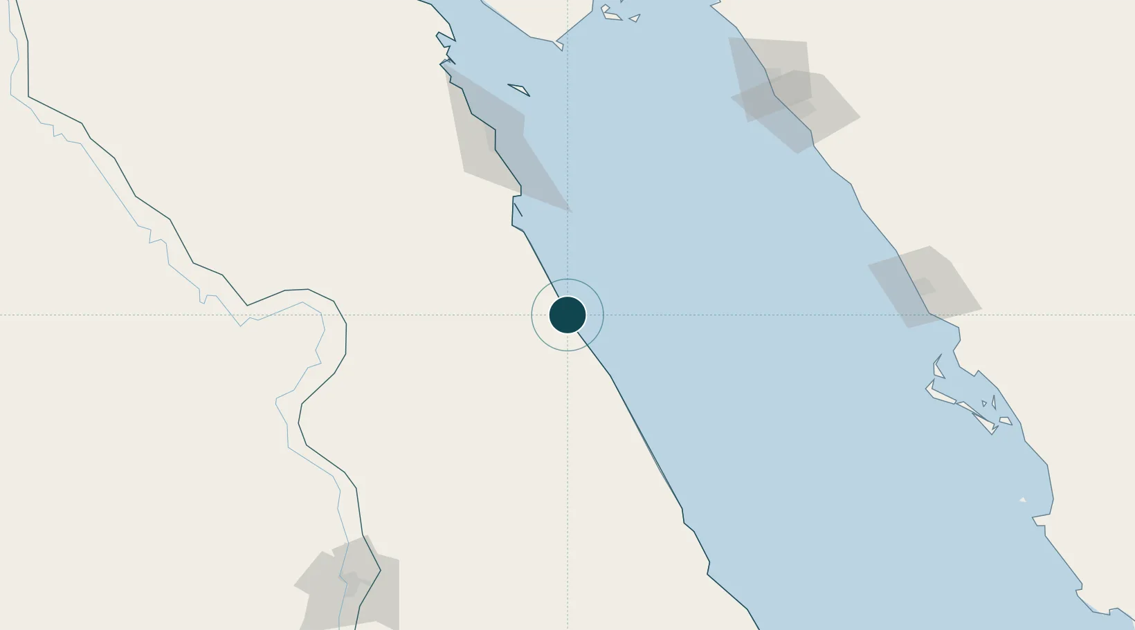
Location
Nearby Logistics Neighbours
Ports
- 1Hamrawein19 km
- 2Safaja78 km
- 3El Ghardaqa131 km
- 4Sharm El Sheikh195 km
- 5Zeit Bay Terminal204 km
Cities
- 1Port Ghalib72 km
- 2Soma Bay Marina89 km
- 3El-Guna (El Gouna)155 km
- 4Sharm ash Shaykh196 km
- 5Abu Ghosoun205 km
Airports
Trade Zones
- 1Safaga Free Zone80 km
- 2Qift (Keft) Free Zone155 km
- 3Esna Center Investment Zone193 km
- 4Red Sea Project223 km
- 5El-Kawthar District Industrial Zone253 km
DatabookThe Record of Consolidated Knowledge
Egypt beyond logistics?