Transport Functions
Port
Rail
Road
Hub Profile
Place type
Populated place
Region
Bas-Uele
Time zone
Africa/Lubumbashi
Elevation
412 m
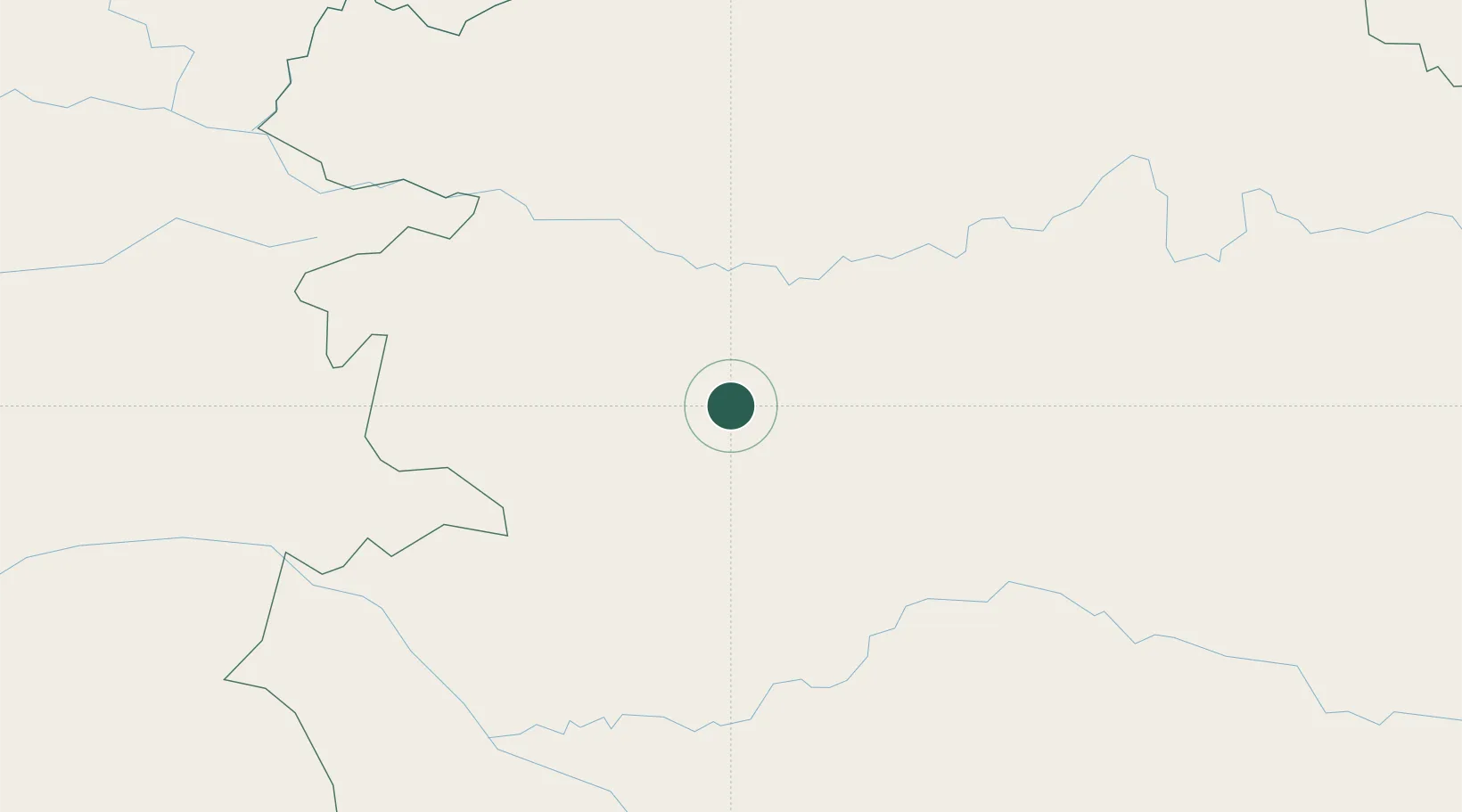
Location
Nearby Logistics Neighbours
Ports
- 1Matadi1577 km
- 2Boma1615 km
- 3Pointe Noire1662 km
- 4Djeno Terminal1664 km
- 5Futila Terminal1668 km
Airports
- 1Buta Zega Airport9 km
- 2Bangoka International Airport269 km
- 3Matari Airport319 km
- 4Lisala Airport365 km
- 5Gbadolite Airport445 km
Trade Zones
- 1Kasese Industrial Park665 km
- 2Arua Special Economic Zone686 km
- 3Cite Lumiere Kwa na Kwa Economic Zone704 km
- 4Bushenyi Industrial Park714 km
- 5Nyabihu Industrial Park725 km
DatabookThe Record of Consolidated Knowledge
Congo - Kinshasa beyond logistics?