Transport Functions
Road
Multimodal
Hub Profile
Place type
Regional capital
Region
White Nile
Population
135,281
Time zone
Africa/Khartoum
Elevation
399 m
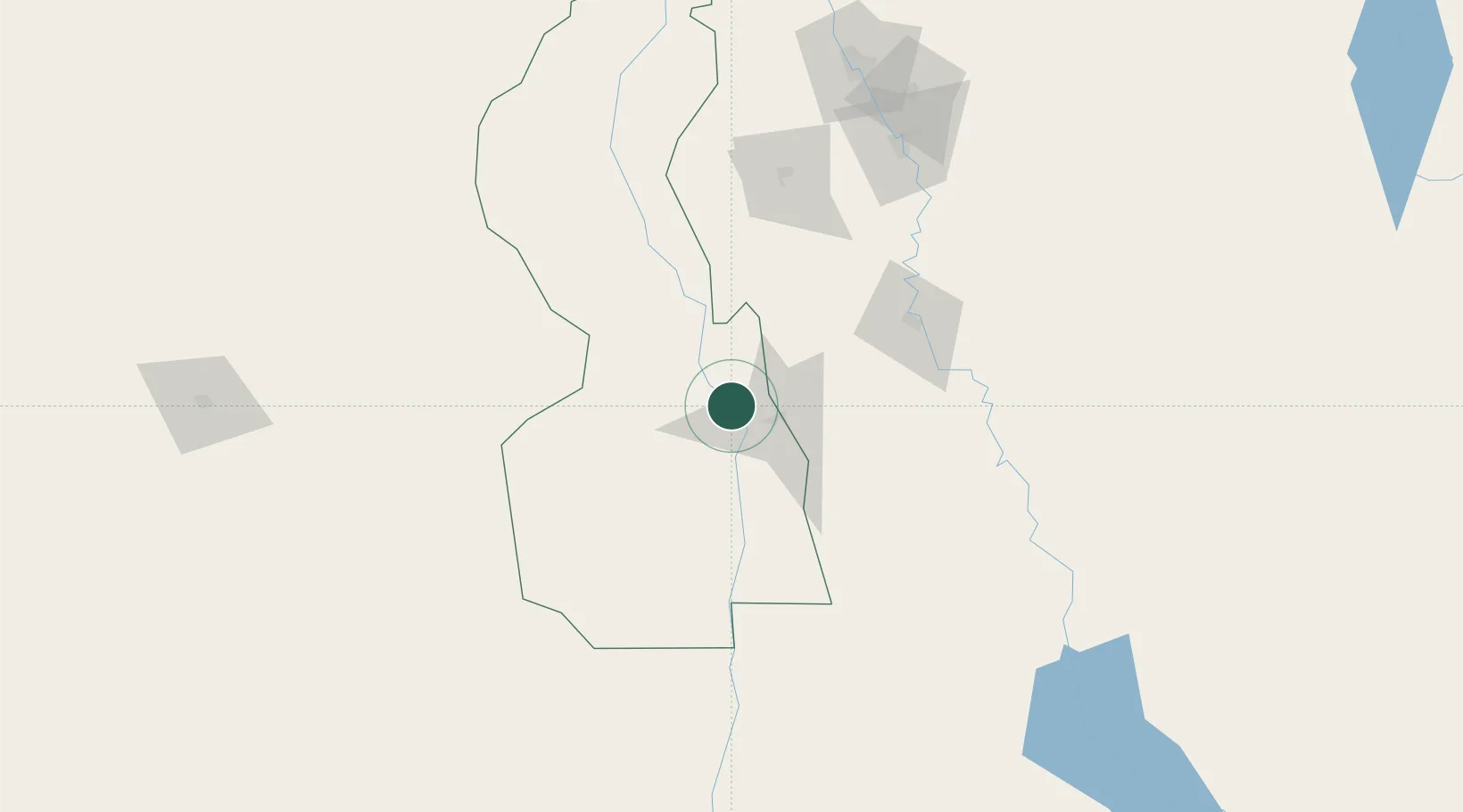
Location
Nearby Logistics Neighbours
Cities
- 1Asmara711 km
- 2Massawa (Mitsiwa)773 km
- 3Marsa Bashayer847 km
- 4Port Sudan861 km
- 5Mojo861 km
Ports
- 1Mitsiwa Harbor775 km
- 2Sawakin Harbor828 km
- 3Port Sudan863 km
- 4Assab1085 km
- 5Ras Isa Marine Terminal1086 km
Airports
- 1El-Obeid Airport271 km
- 2Khartoum International Airport272 km
- 3Paloich Airport293 km
- 4Wadi Seidna Air Base297 km
- 5Asosa Airport403 km
Trade Zones
- 1Kosti Free Zone4 km
- 2Al-Jabayn Free Zone63 km
- 3Mokhalif Free Zone73 km
- 4Garri Free Zone272 km
- 5Gallabat Free Zone371 km
DatabookThe Record of Consolidated Knowledge
Sudan beyond logistics?