Medium airport · Sudan
El Fasher AirportHSFS
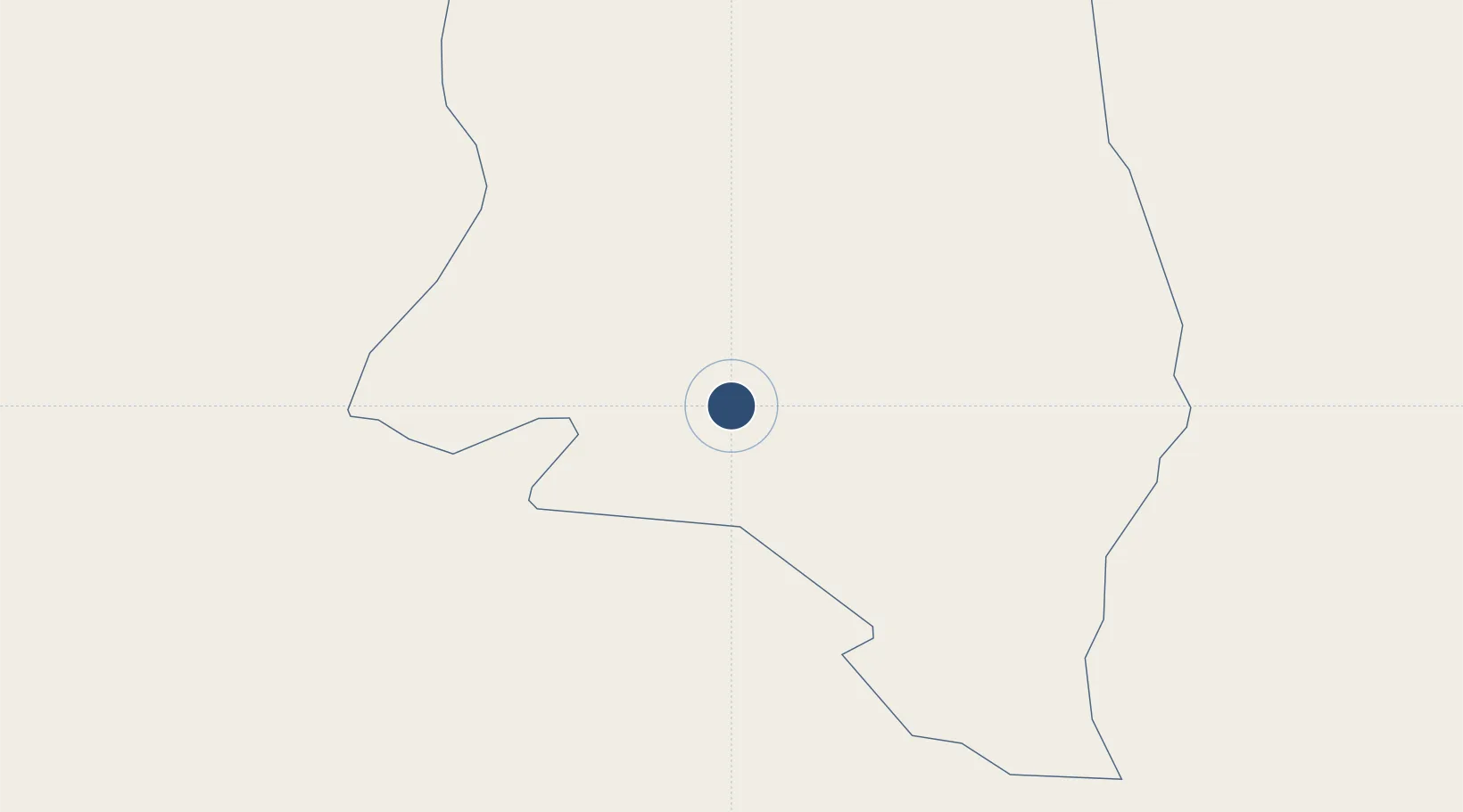
13.6149°, 25.3246°
9,744 ft
Longest runway
2
Runways
2,393 ft
Elevation
Runway & Layout

Radio Frequencies
TWR
127.3 MHz
TWR/APP
Navaids
FSR VOR-DME El Fashir 115.00 MHz
FSR NDB El Fashir 394 kHz
Runways · 2
| Runway | Dimensions | Surface | True heading | Lit |
|---|---|---|---|---|
| 05/23 | 9,744 × 148ft | Asphalt | 052° | ✓ |
| 18/36 | 5,010 × 148ft | Gravel | 184° | — |
Airport Specifications
IATA code
ELF
ICAO code
HSFS
Airport class
Medium airport
Scheduled service
Yes
Runway surface
Asphalt
Served city
El Fasher
Location
Nearby Logistics Neighbours
Airports
- 1Nyala Airport178 km
- 2Sabera Geneina Airport302 km
- 3Abeche Airport485 km
- 4El-Obeid Airport533 km
- 5Wau Airport716 km
Ports
- 1Sawakin Harbor1421 km
- 2Port Sudan1432 km
- 3Mitsiwa Harbor1538 km
- 4Al Qusayr1673 km
- 5Hamrawein1682 km
Trade Zones
- 1Kosti Free Zone799 km
- 2Garri Free Zone808 km
- 3Al-Jabayn Free Zone818 km
- 4Mokhalif Free Zone823 km
- 5Djermaya Special Economic Zone1116 km
DatabookThe Record of Consolidated Knowledge
Sudan beyond logistics?