Small airport · Libya
Tobruk International AirportHLTQ
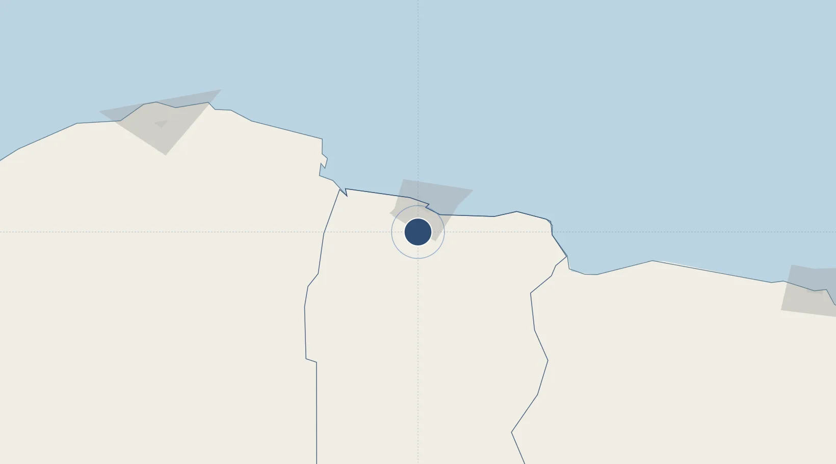
31.8610°, 23.9070°
9,895 ft
Longest runway
3
Runways
519 ft
Elevation
Runway & Layout

Runways · 3
| Runway | Dimensions | Surface | True heading | Lit |
|---|---|---|---|---|
| 02/20 | 9,895 × 150ft | Asphalt | 020° | — |
| 15/33 | 9,865 × 150ft | Asphalt | 149° | — |
| 09/27 | 9,835 × 150ft | Asphalt | 089° | — |
Airport Specifications
IATA code
TOB
ICAO code
HLTQ
Airport class
Small airport
Scheduled service
Yes
Runway surface
Asphalt
Served city
Adam
Location
Nearby Logistics Neighbours
Airports
- 1Bombah Airport99 km
- 2Al Abraq International Airport211 km
- 3Siwa Oasis North Airport319 km
- 4Mersa Matruh International Airport320 km
- 5Benina International Airport344 km
Cities
- 1Marsa El Hariga23 km
- 2Tobruk25 km
- 3Bardiyah113 km
- 4Sallum122 km
- 5Darnah156 km
Ports
- 1Mersa Tobruq26 km
- 2Darnah155 km
- 3Mersa Matruh320 km
- 4Kali Limenes352 km
- 5Banghazi365 km
Trade Zones
- 1Tobruk Free Zone21 km
- 2Elmreisa (Benghazi) Free Zone367 km
- 3Free Zone of Heraklion387 km
- 4New Alamein City Investment Zone488 km
- 5Alexandria Public Free Zone564 km
DatabookThe Record of Consolidated Knowledge
Libya beyond logistics?