Export Processing Zone · Greece

Free Zone of Piraeus Active
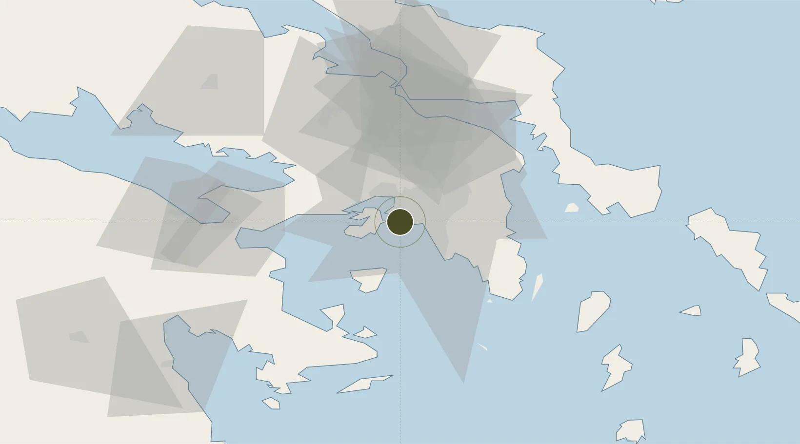
37.9461°, 23.6123°
113 ha
Zone area
3.6 km
Nearest port
14.0 km
Nearest airport

Gateway access

Nearest neighbours — logibook spatial index (haversine) over the source coordinates

Zone profile

Zone type
Export Processing Zone
Open Zone Map
Region
Attiki
Open Zone Map
Status
Active
Open Zone Map
Management
Public
Open Zone Map
Operator
Port of Piraeus Port Authority, S.A.
Open Zone Map
Legal framework
Regulation (EU) No 952/2013 of the European Parliament and of the Council of 9 October 2013 laying down the Union Customs Code (recast)
Open Zone Map

Location

Location of ozm-2055
Natural Earth 10m (public domain) · Attiki · ozm-2055 · 37.95, 23.61GoogleOSMYandex

Nearby Logistics Neighbours

Ports
  1. 1Piraievs4 km
  2. 2Megara Oil Terminal19 km
  3. 3Lavrio48 km
  4. 4Ormos Aliveriou62 km
  5. 5Navplio83 km
Nearest neighbours — logibook spatial index (haversine) over the source coordinates
Airports
  1. 1Elefsis Air Base14 km
  2. 2Athens Eleftherios Venizelos International Airport29 km
  3. 3Tanagra Air Base44 km
  4. 4Syros Airport131 km
  5. 5Skiros Airport137 km
Nearest neighbours — logibook spatial index (haversine) over the source coordinates
Cities
  1. 1Drapetzona1 km
  2. 2Keratsínion2 km
  3. 3Perama4 km
  4. 4Moschato/Athínai5 km
  5. 5Agios Ioannis Rentis5 km
Nearest neighbours — logibook spatial index (haversine) over the source coordinates
Trade Zones
  1. 1Free Zone of Platigiali (Astakos Etoloakarnanias)227 km
  2. 2Izmir Free Zone299 km
  3. 3Free Zone of Thessaloniki305 km
  4. 4Izmir Ataturk Organized Industrial Zone305 km
  5. 5Aegean Free Zone310 km
Nearest neighbours — logibook spatial index (haversine) over the source coordinates
DatabookThe Record of Consolidated Knowledge
Greece beyond logistics?
Browse databook

All Sources

Trade ZonesOpen Zone Map
CC BY
Portsthe NGA World Port Index
Public domain (US gov)
AirportsOurAirports
Public domain
LocationsUN/LOCODE
UN/LOCODE — free
← Greece trade zones