Large airport · Greece
Chania International AirportLGSA
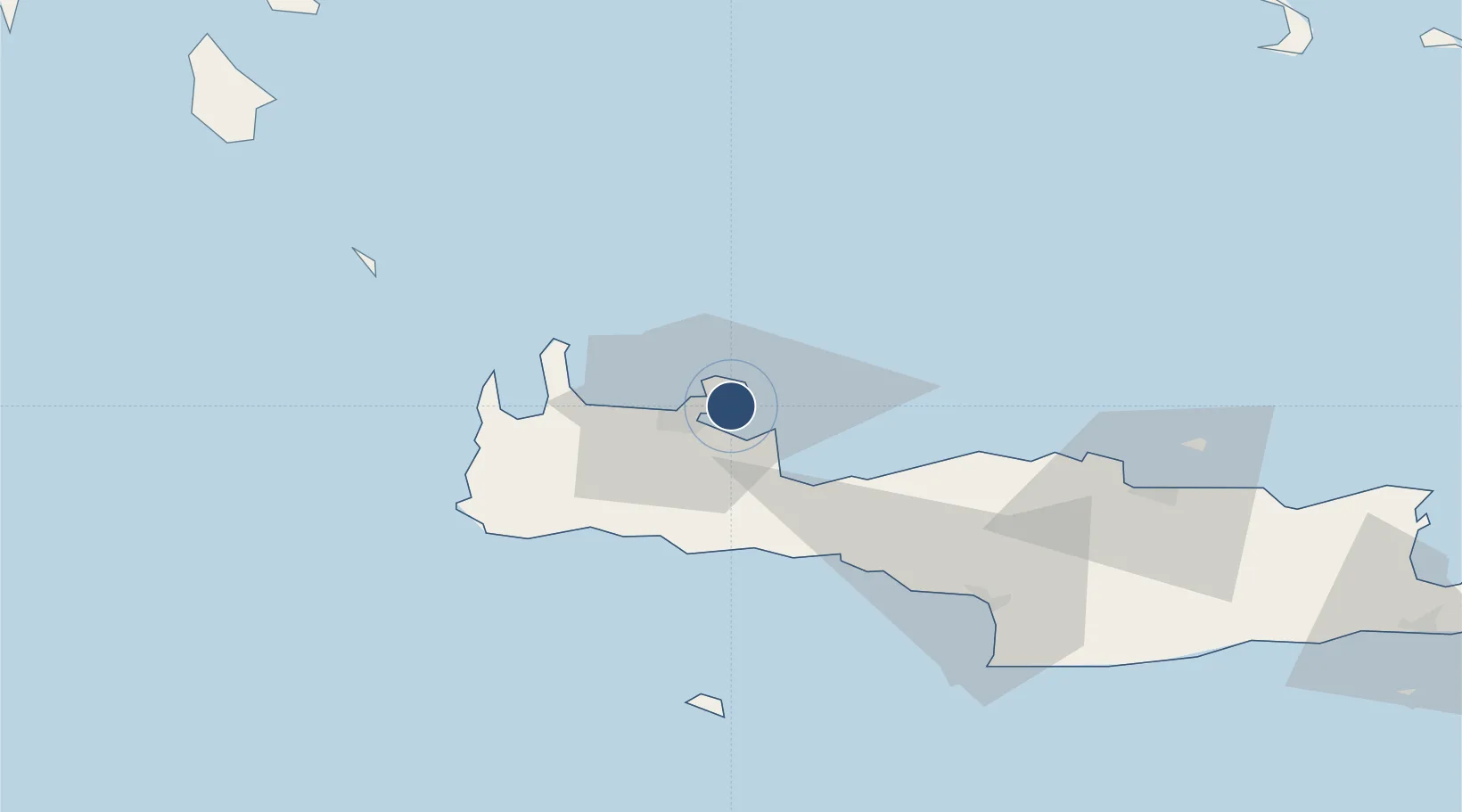
35.5312°, 24.1507°
10,982 ft
Longest runway
1
Runways
490 ft
Elevation
Runway & Layout

Radio Frequencies
TWR
121.1 MHz
GND
121.7 MHz
APP
118.125 MHz
A/G
563.7 MHz
CHANIA RDO
MISC
25.24 MHz
RANGER BASE
OPS
35.94 MHz
BASE OPS
PMSV
35.94 MHz
PMSV METRO
POST
27.895 MHz
BULL PEN
Navaids
SUD TACAN Souda 111.20 MHz
SUD VOR-DME Chania 108.60 MHz
SUD NDB Chania 409 kHz
Runways · 1
| Runway | Dimensions | Surface | True heading | Lit |
|---|---|---|---|---|
| 11/29 | 10,982 × 148ft | Asphalt | 111° | ✓ |
Airport Specifications
IATA code
CHQ
ICAO code
LGSA
Airport class
Large airport
Scheduled service
Yes
Runway surface
Asphalt
Served city
Souda
Location
Nearby Logistics Neighbours
Airports
Cities
- 1Soúda2 km
- 2Souda Bay6 km
- 3Kounoupidiana6 km
- 4Chania12 km
- 5Réthymnon34 km
Ports
- 1Soudha6 km
- 2Rethimnon34 km
- 3Kali Limenes91 km
- 4Iraklion93 km
- 5Milos135 km
Trade Zones
- 1Free Zone of Heraklion92 km
- 2Free Zone of Piraeus273 km
- 3Tobruk Free Zone389 km
- 4Aegean Free Zone409 km
- 5Izmir Ataturk Organized Industrial Zone417 km
DatabookThe Record of Consolidated Knowledge
Greece beyond logistics?