Channel & Berth Profile
Pilotage, Tugs & Services
Pilotage compulsoryYES
Pilotage availableYES
Pilotage advisableYES
Tug assistanceYES
Shore powerYES
Potable waterYES
Diesel bunkersYES
MedicalYES
Garbage disposalYES
Facilities & Capabilities
Container—
Ro-Ro—
Liquid bulk—
Dry bulk—
Oil terminal—
Break bulk—
Dry dock—
Repairs—
BunkeringYES
Rail link—
Dangerous cargo—
ISPS security—
Harbour Specifications
Harbour size
Small
Harbour type
Coastal (Breakwater)
Shelter
Good
Water body
Mediterranean Sea; North Atlantic Ocean
Tidal range
1 m
Pilotage
Yes
Liner Connectivity
10.9
PLSCI
Port Liner Shipping Connectivity Index for Mersa Tobruq, as published by UNCTAD for the latest available quarter. Higher values indicate stronger scheduled liner-shipping integration.
Shown relative to the highest per-port PLSCI in the dataset (1,657.9).
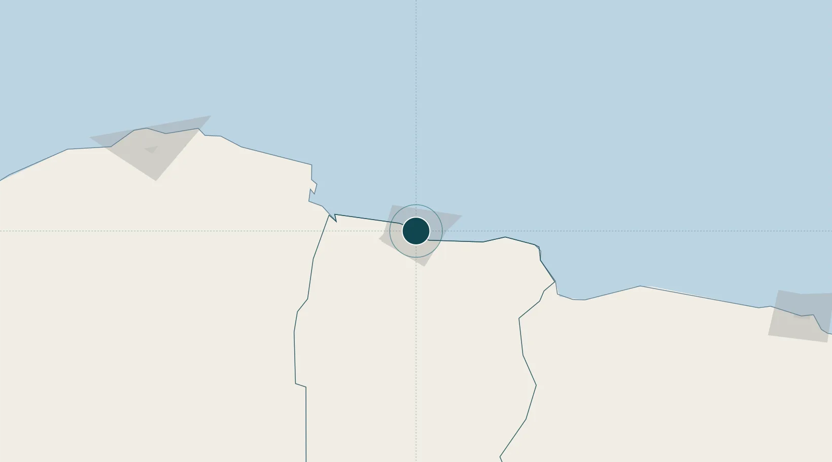
Location
Nearby Logistics Neighbours
Ports
- 1Darnah146 km
- 2Mersa Matruh318 km
- 3Kali Limenes327 km
- 4Rethimnon368 km
- 5Banghazi371 km
Cities
- 1Marsa El Hariga4 km
- 2Bardiyah111 km
- 3Sallum124 km
- 4Darnah148 km
- 5Gavdos Chanea308 km
Airports
- 1Tobruk International Airport26 km
- 2Bombah Airport91 km
- 3Al Abraq International Airport206 km
- 4Mersa Matruh International Airport318 km
- 5Siwa Oasis North Airport337 km
Trade Zones
- 1Tobruk Free Zone5 km
- 2Free Zone of Heraklion362 km
- 3Elmreisa (Benghazi) Free Zone374 km
- 4New Alamein City Investment Zone487 km
- 5Alexandria Public Free Zone561 km
DatabookThe Record of Consolidated Knowledge
Libya beyond logistics?