Large airport · Angola

Quatro de Fevereiro International AirportFNLU
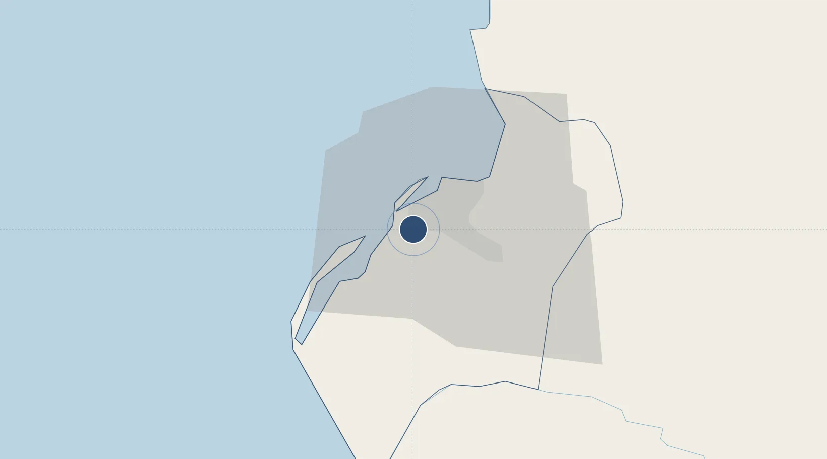
-8.8584°, 13.2312°
12,190 ft
Longest runway
2
Runways
243 ft
Elevation

Runway & Layout

Quatro de Fevereiro International Airport runway & taxiway layout
Runway & taxiway layout — OpenStreetMap (ODbL) / OurAirports

Radio Frequencies

TWR
118.1 MHz
GND
121.9 MHz
APP
119.1 MHz
A/G
129.5 MHz
A/G VOICE RDO
OurAirports

Navaids

LU NDB Luanda 258 kHz
VNA VOR-DME Luanda 112.70 MHz
OurAirports

Runways · 2

RunwayDimensions SurfaceTrue headingLit
05/23 12,190 × 148ft Asphalt 047°
07/25 8,530 × 197ft Asphalt 068°
OurAirports

Airport Specifications

IATA code
LAD
OurAirports
ICAO code
FNLU
OurAirports
Airport class
Large airport
OurAirports
Scheduled service
Yes
OurAirports
Runway surface
Asphalt
OurAirports
Served city
Luanda
OurAirports

Location

Location of FNLU
Natural Earth 10m (public domain) · Luanda · FNLU · -8.86, 13.23GoogleOSMYandex

Nearby Logistics Neighbours

Airports
  1. 1Dr. Antonio Agostinho Neto International Airport36 km
  2. 2Porto Amboim Airport215 km
  3. 3Uige Airport242 km
  4. 4Negage Airport257 km
  5. 5Sumbe Airport266 km
Nearest neighbours — logibook spatial index (haversine) over the source coordinates
Cities
  1. 1Luanda7 km
  2. 2Capulo98 km
  3. 3Greater Plutonio167 km
  4. 4N'Zeto (Ambrizete)182 km
  5. 5Gimboa188 km
Nearest neighbours — logibook spatial index (haversine) over the source coordinates
Ports
  1. 1Luanda7 km
  2. 2Porto Do Ambriz115 km
  3. 3Greater Plutonio Terminal169 km
  4. 4Dalia Terminal208 km
  5. 5Porto Amboim216 km
Nearest neighbours — logibook spatial index (haversine) over the source coordinates
Trade Zones
  1. 1Luanda-Bengo Special Economic Zone20 km
  2. 2Viana Industrial Development Pole27 km
  3. 3Catumbela Industrial Development Pole396 km
  4. 4Fútila Industrial Development Pole398 km
  5. 5Pointe-Noire Special Economic Zone478 km
Nearest neighbours — logibook spatial index (haversine) over the source coordinates
DatabookThe Record of Consolidated Knowledge
Angola beyond logistics?
Browse databook

All Sources

AirportsOurAirports
Public domain
Portsthe NGA World Port Index
Public domain (US gov)
LocationsUN/LOCODE
UN/LOCODE — free
Trade Zonesthe World Bank SEZ database
CC BY 4.0
Trade ZonesOpen Zone Map
CC BY
InfrastructureOpenStreetMap
ODbL 1.0
← Angola airports