Large airport · Congo - Brazzaville
Maya-Maya International AirportFCBB
-4.2517°, 15.2530°
10,827 ft
Longest runway
1
Runways
1,048 ft
Elevation
Runway & Layout

Radio Frequencies
TWR
121.1 MHz
BRAZZAVILLE TWR
ACC
121.1 MHz
BRAZZAVILLE CON
INFO
549.3 MHz
BRAZZAVILLE INFO
Navaids
BZ VOR-DME Brazzaville Maya Maya 113.10 MHz
Runways · 1
| Runway | Dimensions | Surface | True heading | Lit |
|---|---|---|---|---|
| 05/23 | 10,827 × 148ft | Asphalt | 050° | ✓ |
Airport Specifications
IATA code
BZV
ICAO code
FCBB
Airport class
Large airport
Scheduled service
Yes
Runway surface
Asphalt
Served city
Brazzaville
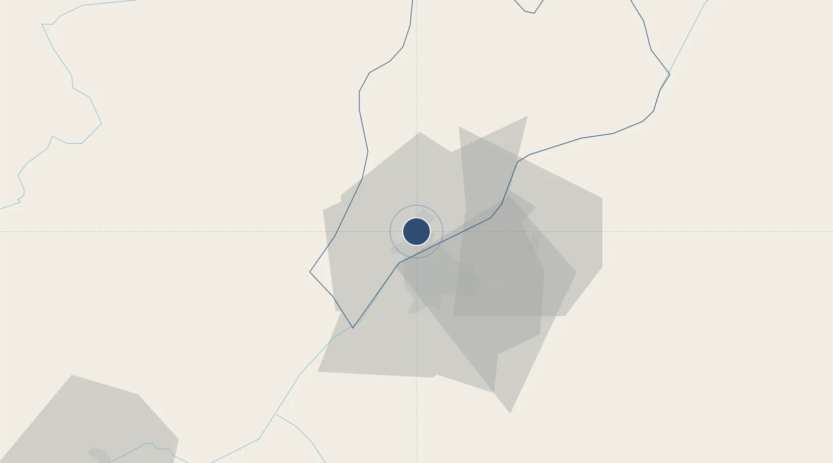
Location
Nearby Logistics Neighbours
Airports
- 1Ndolo Airport12 km
- 2Ndjili International Airport26 km
- 3Mbanza Congo Airport251 km
- 4Bandundu Airport258 km
- 5Ngot Nzoungou Airport288 km
Ports
- 1Matadi265 km
- 2Boma302 km
- 3Futila Terminal365 km
- 4Cabinda367 km
- 5Banana372 km
Trade Zones
DatabookThe Record of Consolidated Knowledge
Congo - Brazzaville beyond logistics?