Medium airport · South Africa
Ladysmith AirportFALY
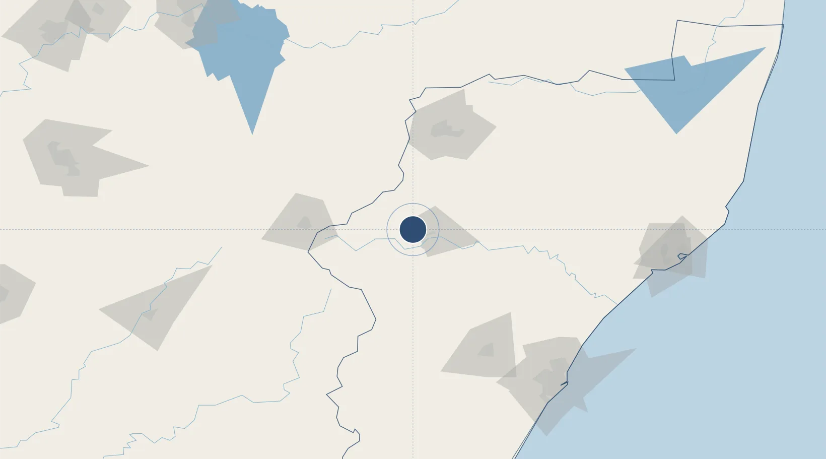
-28.5817°, 29.7497°
3,937 ft
Longest runway
1
Runways
3,548 ft
Elevation
Runway & Layout

Radio Frequencies
CTAF
124.8 MHz
Navaids
LY NDB Ladysmith 398 kHz
LYV VOR Ladysmith 116.50 MHz
Runways · 1
| Runway | Dimensions | Surface | True heading | Lit |
|---|---|---|---|---|
| 11/29 | 3,937 × 49ft | Asphalt | 090° | — |
Airport Specifications
IATA code
LAY
ICAO code
FALY
Airport class
Medium airport
Scheduled service
No
Runway surface
Asphalt
Served city
Ladysmith
Location
Nearby Logistics Neighbours
Airports
- 1Harrismith Airport74 km
- 2Newcastle Airport93 km
- 3Pietermaritzburg Airport134 km
- 4Prince Mangosuthu Buthelezi Airport166 km
- 5King Shaka International Airport176 km
Cities
- 1Bergville41 km
- 2Nottingham Road89 km
- 3Lions River106 km
- 4Wartburg125 km
- 5City Centre127 km
Ports
- 1Durban192 km
- 2Richards Bay231 km
- 3Maputo401 km
- 4East London525 km
- 5Port Elizabeth713 km
Trade Zones
- 1Maluti-A-Phofung Special Economic Zone79 km
- 2Isithebe Industrial Park171 km
- 3Durban Aerotropolis172 km
- 4Dube AgriZone174 km
- 5Dube TradeZone175 km
DatabookThe Record of Consolidated Knowledge
South Africa beyond logistics?