Free Trade Zone · South Africa

Dube AgriZone Active
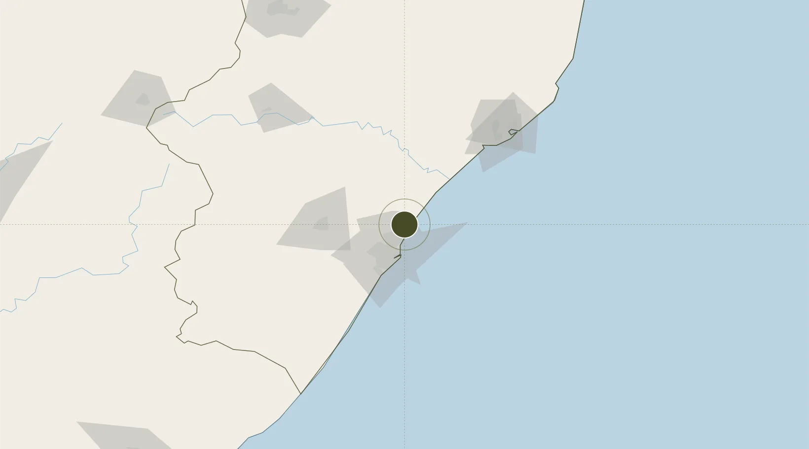
-29.6098°, 31.0931°
16 ha
Zone area
28.7 km
Nearest port
2.6 km
Nearest airport

Gateway access

Nearest neighbours — logibook spatial index (haversine) over the source coordinates

Zone profile

Zone type
Free Trade Zone
Open Zone Map
Region
KwaZulu-Natal
Open Zone Map
Status
Active
Open Zone Map
Management
Private
Open Zone Map
Operator
Dube TradePort Corporation
Open Zone Map
Legal framework
Regulation 1224 of the Manufacturing Development Act (187/1993)
Open Zone Map

Location

Location of ozm-4161
Natural Earth 10m (public domain) · KwaZulu-Natal · ozm-4161 · -29.61, 31.09GoogleOSMYandex

Nearby Logistics Neighbours

Ports
  1. 1Durban29 km
  2. 2Richards Bay132 km
  3. 3Maputo430 km
  4. 4East London486 km
  5. 5Port Elizabeth706 km
Nearest neighbours — logibook spatial index (haversine) over the source coordinates
Airports
  1. 1King Shaka International Airport3 km
  2. 2Virginia Airport18 km
  3. 3Pietermaritzburg Airport67 km
  4. 4Richards Bay Airport137 km
  5. 5Prince Mangosuthu Buthelezi Airport147 km
Nearest neighbours — logibook spatial index (haversine) over the source coordinates
Cities
  1. 1Canelands4 km
  2. 2Umhlanga Rocks12 km
  3. 3Ballito Bay15 km
  4. 4Compensation15 km
  5. 5La Lucia16 km
Nearest neighbours — logibook spatial index (haversine) over the source coordinates
Trade Zones
  1. 1Dube TradePort2 km
  2. 2Dube TradeZone2 km
  3. 3Durban Aerotropolis4 km
  4. 4Isithebe Industrial Park65 km
  5. 5Richards Bay Special Economic Zone128 km
Nearest neighbours — logibook spatial index (haversine) over the source coordinates
DatabookThe Record of Consolidated Knowledge
South Africa beyond logistics?
Browse databook

All Sources

Trade ZonesOpen Zone Map
CC BY
Portsthe NGA World Port Index
Public domain (US gov)
AirportsOurAirports
Public domain
LocationsUN/LOCODE
UN/LOCODE — free
← South Africa trade zones