UN/LOCODE hub · South Africa
ZAZFU

City Centre

-29.5833°, 30.3667°
1
Transport functions

Transport Functions

Multimodal
UN/LOCODE

Hub Profile

Region
NL
GeoNames

Location

Location of ZAZFU
Natural Earth 10m (public domain) · NL · ZAZFU · -29.58, 30.37GoogleOSMYandex

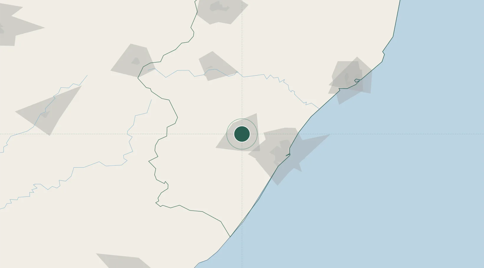
Nearby Logistics Neighbours

Cities
  1. 1Umgeni Dam24 km
  2. 2Lions River25 km
  3. 3Wartburg27 km
  4. 4Nottingham Road44 km
  5. 5New Germany55 km
Nearest neighbours — logibook spatial index (haversine) over the source coordinates
Ports
  1. 1Durban75 km
  2. 2Richards Bay189 km
  3. 3East London449 km
  4. 4Maputo456 km
  5. 5Port Elizabeth660 km
Nearest neighbours — logibook spatial index (haversine) over the source coordinates
Airports
  1. 1Pietermaritzburg Airport8 km
  2. 2Virginia Airport70 km
  3. 3King Shaka International Airport73 km
  4. 4Ladysmith Airport127 km
  5. 5Margate Airport142 km
Nearest neighbours — logibook spatial index (haversine) over the source coordinates
Trade Zones
  1. 1Dube AgriZone70 km
  2. 2Dube TradePort71 km
  3. 3Durban Aerotropolis72 km
  4. 4Dube TradeZone72 km
  5. 5Isithebe Industrial Park115 km
Nearest neighbours — logibook spatial index (haversine) over the source coordinates
DatabookThe Record of Consolidated Knowledge
South Africa beyond logistics?
Browse databook

All Sources

LocationsUN/LOCODE
UN/LOCODE — free
Portsthe NGA World Port Index
Public domain (US gov)
AirportsOurAirports
Public domain
Trade Zonesthe World Bank SEZ database
CC BY 4.0
Trade ZonesOpen Zone Map
CC BY
← South Africa locations