Medium airport · South Africa
Harrismith AirportFAHR
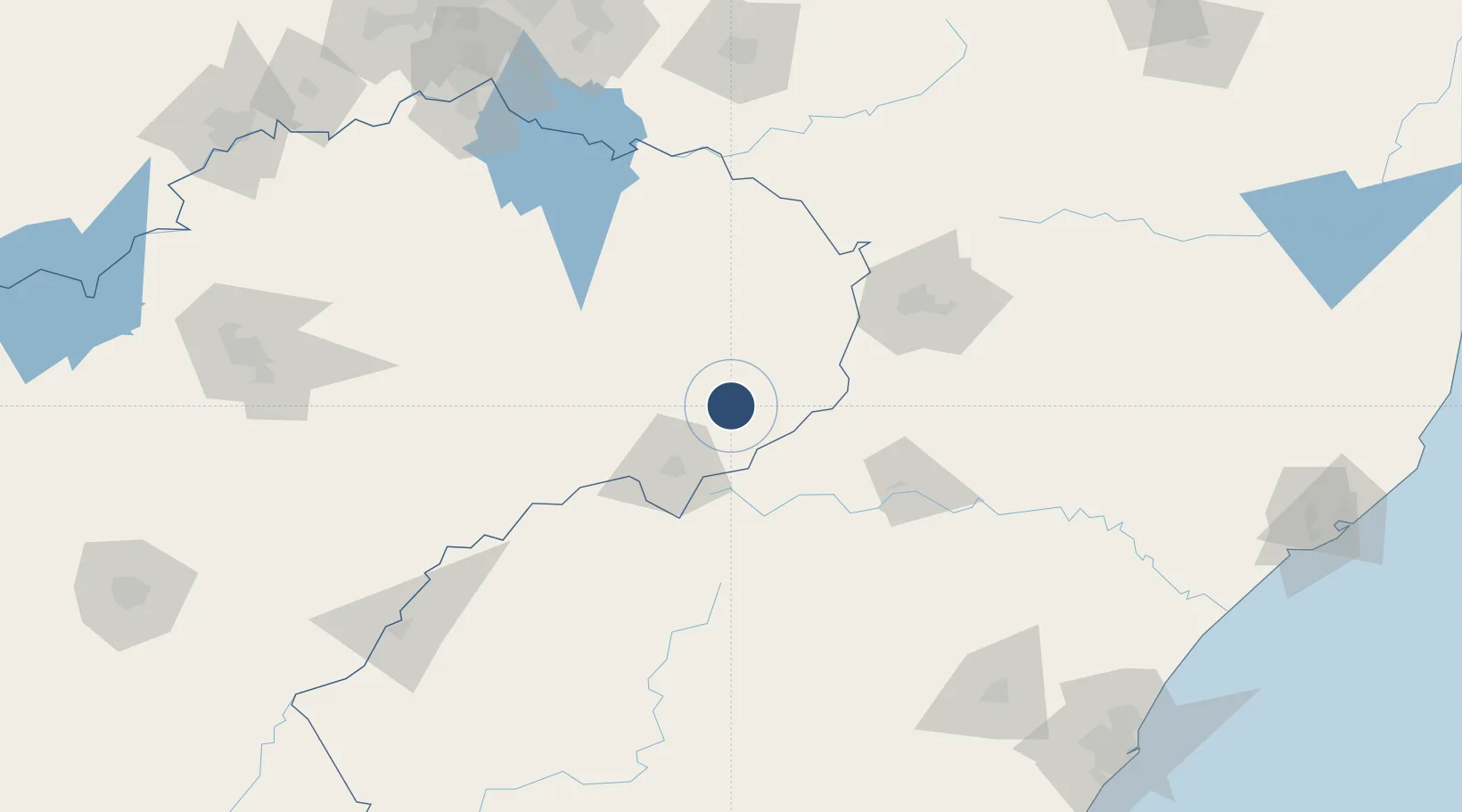
-28.2351°, 29.1062°
3,937 ft
Longest runway
1
Runways
5,585 ft
Elevation
Runway & Layout

Radio Frequencies
A/G
125.4 MHz
A/G VOICE RDO
OPS
123.4 MHz
GLIDER OPS
Navaids
HS NDB Harrismith 483 kHz
Runways · 1
| Runway | Dimensions | Surface | True heading | Lit |
|---|---|---|---|---|
| 15/33 | 3,937 × 49ft | Asphalt | 135° | ✓ |
Airport Specifications
IATA code
HRS
ICAO code
FAHR
Airport class
Medium airport
Scheduled service
No
Runway surface
Asphalt
Served city
Harrismith
Location
Nearby Logistics Neighbours
Airports
- 1Ladysmith Airport74 km
- 2Newcastle Airport100 km
- 3Ficksburg Sentraoes Airport134 km
- 4Secunda Airport190 km
- 5Pietermaritzburg Airport201 km
Cities
- 1Bergville61 km
- 2Butha-Buthe105 km
- 3Maputsoe138 km
- 4Nottingham Road152 km
- 5Robertville155 km
Ports
- 1Durban263 km
- 2Richards Bay299 km
- 3Maputo424 km
- 4East London546 km
- 5Port Elizabeth716 km
Trade Zones
- 1Maluti-A-Phofung Special Economic Zone10 km
- 2Nyenye Industrial Area139 km
- 3Thetsane Industrial Area202 km
- 4Vaal Special Economic Zone205 km
- 5Isithebe Industrial Park244 km
DatabookThe Record of Consolidated Knowledge
South Africa beyond logistics?