Free Trade Zone · South Africa

Durban Aerotropolis Under Development
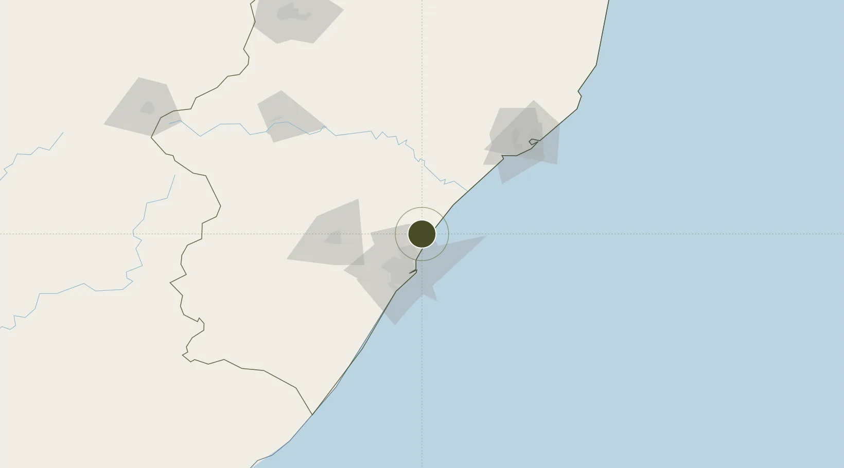
-29.5745°, 31.1055°
32,000 ha
Zone area
32.7 km
Nearest port
4.7 km
Nearest airport

Gateway access

Nearest neighbours — logibook spatial index (haversine) over the source coordinates

Zone profile

Zone type
Free Trade Zone
Open Zone Map
Region
KwaZulu-Natal
Open Zone Map
Status
Under Development
Open Zone Map
Management
Private
Open Zone Map
Operator
Dube TradePort Corporation
Open Zone Map
Legal framework
Special Economic Zones Act No.16 of 2014
Open Zone Map

Location

Location of ozm-4171
Natural Earth 10m (public domain) · KwaZulu-Natal · ozm-4171 · -29.57, 31.11GoogleOSMYandex

Nearby Logistics Neighbours

Ports
  1. 1Durban33 km
  2. 2Richards Bay129 km
  3. 3Maputo426 km
  4. 4East London490 km
  5. 5Port Elizabeth710 km
Nearest neighbours — logibook spatial index (haversine) over the source coordinates
Airports
  1. 1King Shaka International Airport5 km
  2. 2Virginia Airport22 km
  3. 3Pietermaritzburg Airport69 km
  4. 4Richards Bay Airport133 km
  5. 5Prince Mangosuthu Buthelezi Airport143 km
Nearest neighbours — logibook spatial index (haversine) over the source coordinates
Cities
  1. 1Canelands7 km
  2. 2Compensation11 km
  3. 3Ballito Bay12 km
  4. 4Umhlanga Rocks16 km
  5. 5La Lucia20 km
Nearest neighbours — logibook spatial index (haversine) over the source coordinates
Trade Zones
  1. 1Dube TradeZone4 km
  2. 2Dube AgriZone4 km
  3. 3Dube TradePort6 km
  4. 4Isithebe Industrial Park61 km
  5. 5Richards Bay Special Economic Zone125 km
Nearest neighbours — logibook spatial index (haversine) over the source coordinates
DatabookThe Record of Consolidated Knowledge
South Africa beyond logistics?
Browse databook

All Sources

Trade ZonesOpen Zone Map
CC BY
Portsthe NGA World Port Index
Public domain (US gov)
AirportsOurAirports
Public domain
LocationsUN/LOCODE
UN/LOCODE — free
← South Africa trade zones