UN/LOCODE hub · South Africa
ZAZCL

Wartburg

-29.4333°, 30.5833°
1
Transport functions

Transport Functions

Multimodal
UN/LOCODE

Hub Profile

Place type
District seat
GeoNames
Region
KwaZulu-Natal
GeoNames
Time zone
Africa/Johannesburg
GeoNames
Elevation
950 m
GeoNames

Location

Location of ZAZCL
Natural Earth 10m (public domain) · KwaZulu-Natal · ZAZCL · -29.43, 30.58GoogleOSMYandex

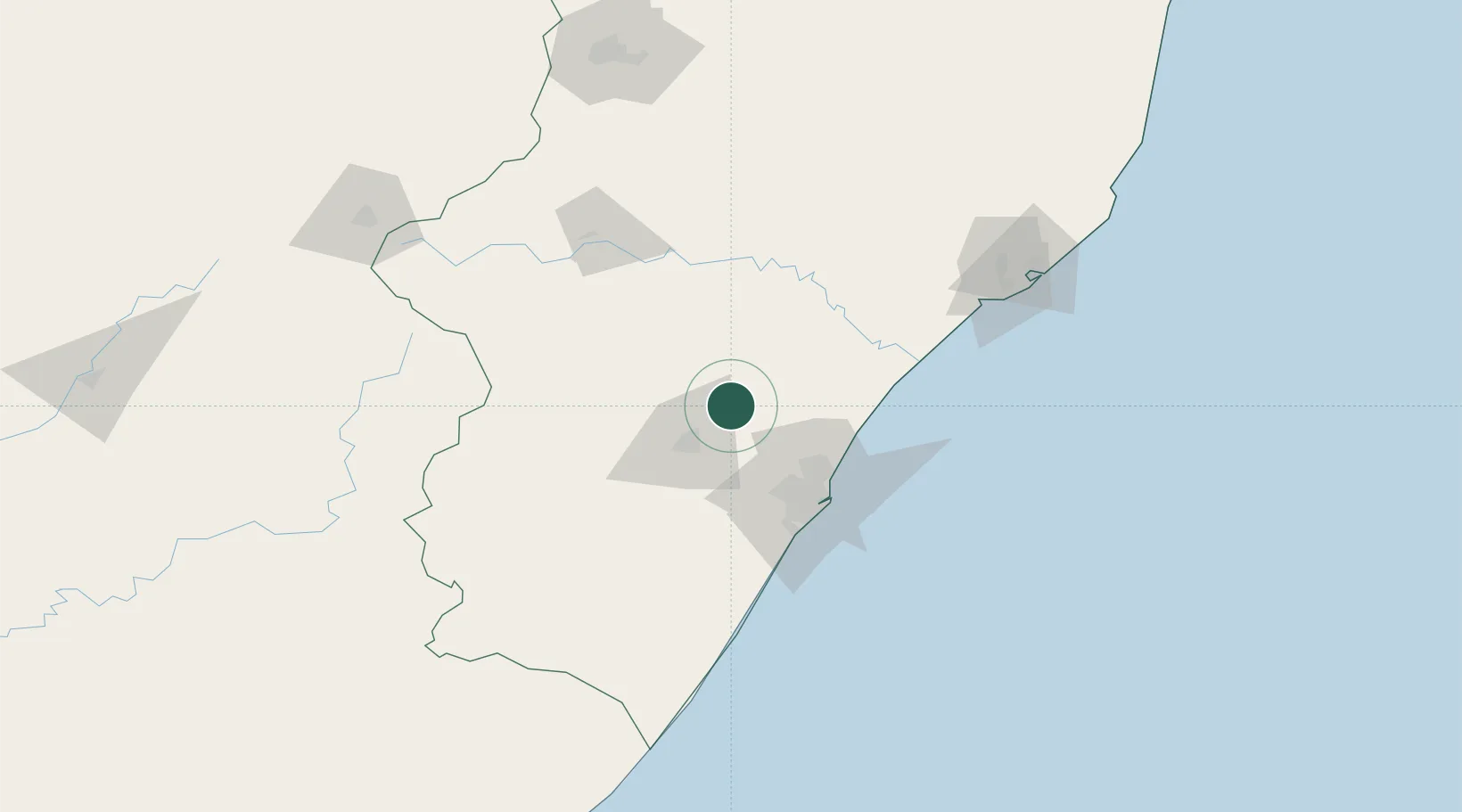
Nearby Logistics Neighbours

Cities
  1. 1Umgeni Dam17 km
  2. 2City Centre27 km
  3. 3Lions River42 km
  4. 4Canelands50 km
  5. 5New Germany50 km
Nearest neighbours — logibook spatial index (haversine) over the source coordinates
Ports
  1. 1Durban67 km
  2. 2Richards Bay163 km
  3. 3Maputo432 km
  4. 4East London474 km
  5. 5Port Elizabeth686 km
Nearest neighbours — logibook spatial index (haversine) over the source coordinates
Airports
  1. 1Pietermaritzburg Airport30 km
  2. 2King Shaka International Airport56 km
  3. 3Virginia Airport59 km
  4. 4Ladysmith Airport125 km
  5. 5Prince Mangosuthu Buthelezi Airport148 km
Nearest neighbours — logibook spatial index (haversine) over the source coordinates
Trade Zones
  1. 1Durban Aerotropolis53 km
  2. 2Dube AgriZone53 km
  3. 3Dube TradePort54 km
  4. 4Dube TradeZone55 km
  5. 5Isithebe Industrial Park88 km
Nearest neighbours — logibook spatial index (haversine) over the source coordinates
DatabookThe Record of Consolidated Knowledge
South Africa beyond logistics?
Browse databook

All Sources

LocationsUN/LOCODE
UN/LOCODE — free
Portsthe NGA World Port Index
Public domain (US gov)
AirportsOurAirports
Public domain
Trade Zonesthe World Bank SEZ database
CC BY 4.0
Trade ZonesOpen Zone Map
CC BY
← South Africa locations