Medium airport · South Africa
Pietermaritzburg AirportFAPM
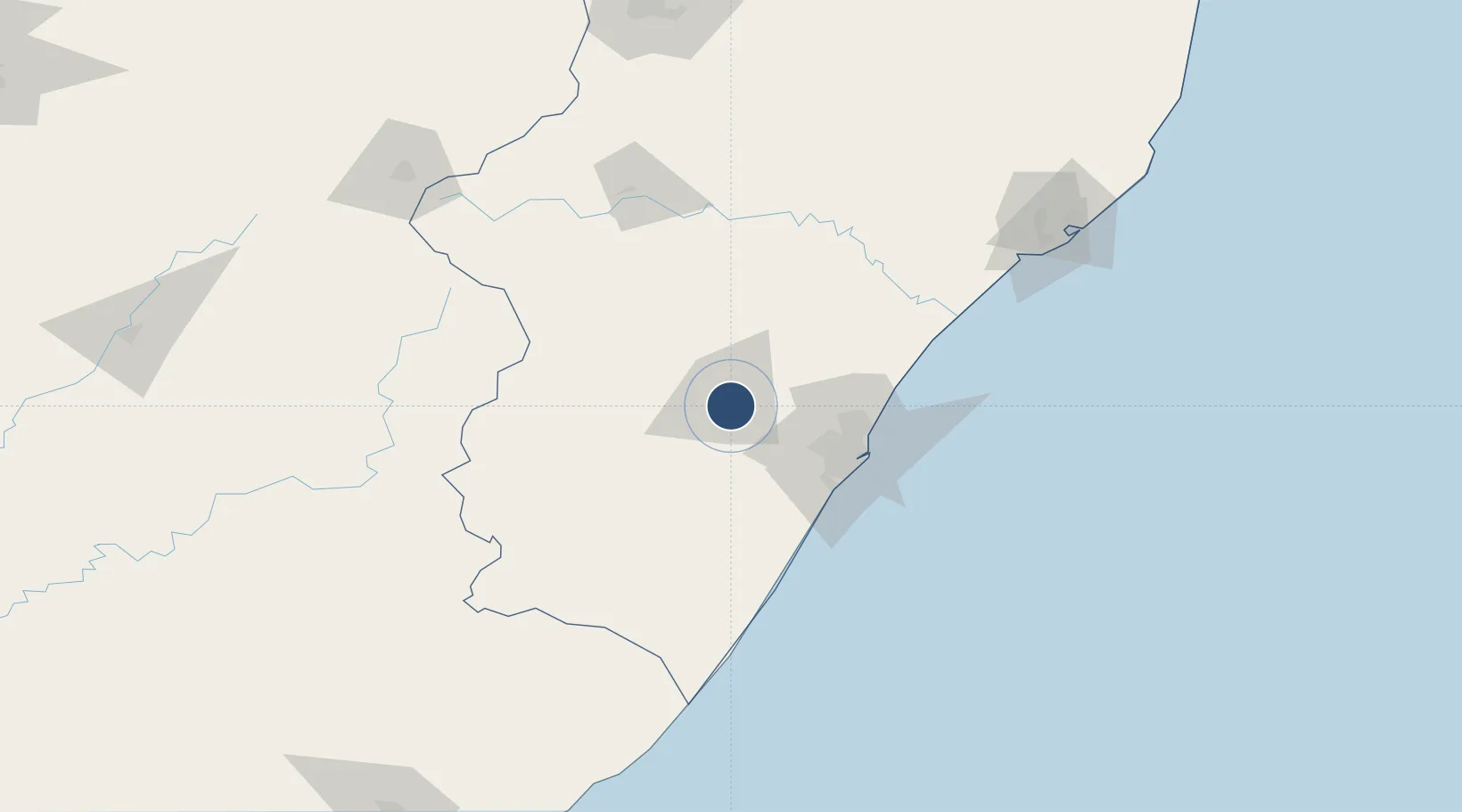
-29.6490°, 30.3987°
5,043 ft
Longest runway
1
Runways
2,423 ft
Elevation
Runway & Layout

Radio Frequencies
TWR
122 MHz
APP
125.75 MHz
Durban Approach Control
Navaids
OBI NDB Pietermaritzburg 280 kHz
ORI NDB Pietermaritzburg 443 kHz
PM NDB Pietermaritzburg 363 kHz
PMV VOR-DME Pietermaritzburg 117.90 MHz
PU NDB Pietermaritzburg 407 kHz
PZ NDB Pietermaritzburg 257 kHz
Runways · 1
| Runway | Dimensions | Surface | True heading | Lit |
|---|---|---|---|---|
| 16/34 | 5,043 × 98ft | Asphalt | 142° | ✓ |
Airport Specifications
IATA code
PZB
ICAO code
FAPM
Airport class
Medium airport
Scheduled service
Yes
Runway surface
Asphalt
Served city
Pietermaritzburg
Location
Nearby Logistics Neighbours
Airports
- 1Virginia Airport65 km
- 2King Shaka International Airport70 km
- 3Ladysmith Airport134 km
- 4Margate Airport135 km
- 5Prince Mangosuthu Buthelezi Airport178 km
Cities
- 1City Centre8 km
- 2Umgeni Dam22 km
- 3Wartburg30 km
- 4Lions River32 km
- 5New Germany50 km
Ports
- 1Durban69 km
- 2Richards Bay190 km
- 3East London444 km
- 4Maputo461 km
- 5Port Elizabeth656 km
Trade Zones
- 1Dube AgriZone67 km
- 2Dube TradePort68 km
- 3Durban Aerotropolis69 km
- 4Dube TradeZone70 km
- 5Isithebe Industrial Park116 km
DatabookThe Record of Consolidated Knowledge
South Africa beyond logistics?