UN/LOCODE hub · South Africa
ZABVL
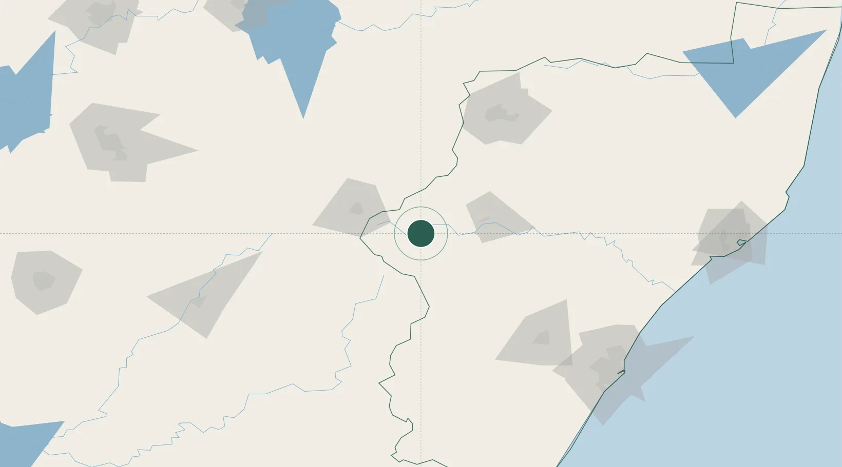
Bergville
-28.7333°, 29.3667°
1,405
Population
2
Transport functions
Transport Functions
Road
Multimodal
Hub Profile
Place type
District seat
Region
KwaZulu-Natal
Population
1,405
Time zone
Africa/Johannesburg
Elevation
1,139 m
Location
Nearby Logistics Neighbours
Cities
- 1Nottingham Road92 km
- 2Butha-Buthe111 km
- 3Lions River112 km
- 4City Centre136 km
- 5Wartburg142 km
Ports
- 1Durban208 km
- 2Richards Bay266 km
- 3Maputo440 km
- 4East London498 km
- 5Port Elizabeth679 km
Airports
- 1Ladysmith Airport41 km
- 2Harrismith Airport61 km
- 3Newcastle Airport123 km
- 4Ficksburg Sentraoes Airport142 km
- 5Pietermaritzburg Airport143 km
Trade Zones
- 1Maluti-A-Phofung Special Economic Zone60 km
- 2Nyenye Industrial Area143 km
- 3Durban Aerotropolis193 km
- 4Dube AgriZone194 km
- 5Dube TradePort195 km
DatabookThe Record of Consolidated Knowledge
South Africa beyond logistics?