Free Trade Zone · South Africa
Maluti-A-Phofung Special Economic Zone Active
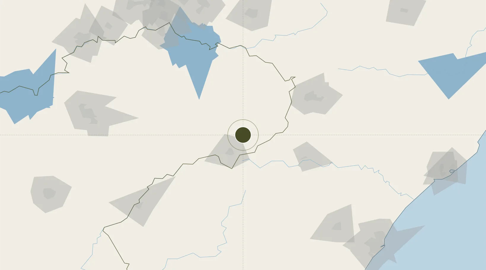
-28.2861°, 29.0202°
1,038 ha
Zone area
265.4 km
Nearest port
10.2 km
Nearest airport
Gateway access
Zone profile
Zone type
Free Trade Zone
Region
Free State
Status
Active
Management
Public-Private Partnership
Operator
Free State Development Corporation
Legal framework
Free State Development Act 6 of 1995
Location
Nearby Logistics Neighbours
Ports
- 1Durban265 km
- 2Richards Bay306 km
- 3Maputo434 km
- 4East London538 km
- 5Port Elizabeth707 km
Airports
- 1Harrismith Airport10 km
- 2Ladysmith Airport79 km
- 3Newcastle Airport110 km
- 4Ficksburg Sentraoes Airport124 km
- 5Moshoeshoe I International Airport193 km
Cities
- 1Bergville60 km
- 2Butha-Buthe95 km
- 3Maputsoe128 km
- 4Nottingham Road152 km
- 5Robertville160 km
Trade Zones
- 1Nyenye Industrial Area129 km
- 2Thetsane Industrial Area192 km
- 3Vaal Special Economic Zone205 km
- 4Mafeteng Special Economic Zone243 km
- 5Botshabelo Industrial Park248 km
DatabookThe Record of Consolidated Knowledge
South Africa beyond logistics?