Free Trade Zone · South Africa

Dube TradeZone Active
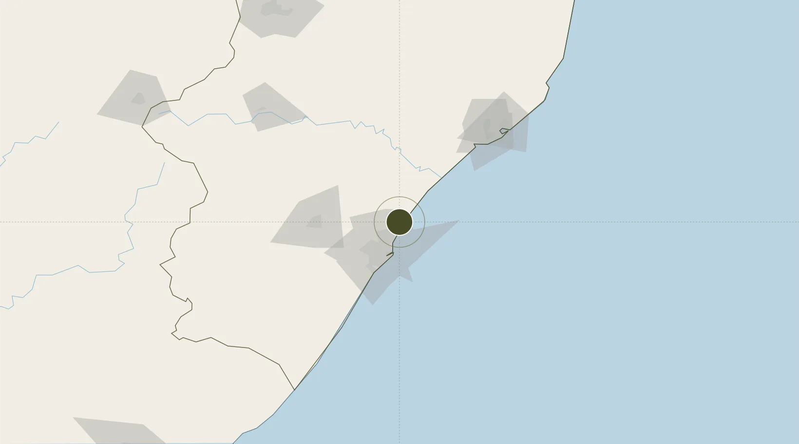
-29.6058°, 31.1155°
45 ha
Zone area
29.4 km
Nearest port
1.0 km
Nearest airport

Gateway access

Nearest neighbours — logibook spatial index (haversine) over the source coordinates

Zone profile

Zone type
Free Trade Zone
Open Zone Map
Region
KwaZulu-Natal
Open Zone Map
Status
Active
Open Zone Map
Management
Private
Open Zone Map
Operator
Dube TradePort Corporation
Open Zone Map
Legal framework
Regulation 1224 of the Manufacturing Development Act (187/1993)
Open Zone Map

Location

Location of ozm-4163
Natural Earth 10m (public domain) · KwaZulu-Natal · ozm-4163 · -29.61, 31.12GoogleOSMYandex

Nearby Logistics Neighbours

Ports
  1. 1Durban29 km
  2. 2Richards Bay130 km
  3. 3Maputo429 km
  4. 4East London487 km
  5. 5Port Elizabeth708 km
Nearest neighbours — logibook spatial index (haversine) over the source coordinates
Airports
  1. 1King Shaka International Airport1 km
  2. 2Virginia Airport19 km
  3. 3Pietermaritzburg Airport70 km
  4. 4Richards Bay Airport135 km
  5. 5Prince Mangosuthu Buthelezi Airport146 km
Nearest neighbours — logibook spatial index (haversine) over the source coordinates
Cities
  1. 1Canelands6 km
  2. 2Ballito Bay13 km
  3. 3Umhlanga Rocks13 km
  4. 4Compensation14 km
  5. 5La Lucia17 km
Nearest neighbours — logibook spatial index (haversine) over the source coordinates
Trade Zones
  1. 1Dube AgriZone2 km
  2. 2Dube TradePort3 km
  3. 3Durban Aerotropolis4 km
  4. 4Isithebe Industrial Park63 km
  5. 5Richards Bay Special Economic Zone127 km
Nearest neighbours — logibook spatial index (haversine) over the source coordinates
DatabookThe Record of Consolidated Knowledge
South Africa beyond logistics?
Browse databook

All Sources

Trade ZonesOpen Zone Map
CC BY
Portsthe NGA World Port Index
Public domain (US gov)
AirportsOurAirports
Public domain
LocationsUN/LOCODE
UN/LOCODE — free
← South Africa trade zones