Export Processing Zone · South Africa

Isithebe Industrial Park Under Development
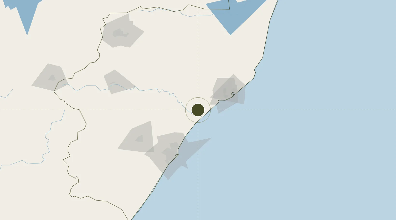
-29.0957°, 31.4086°
414 ha
Zone area
74.2 km
Nearest port
64.1 km
Nearest airport

Gateway access

Nearest neighbours — logibook spatial index (haversine) over the source coordinates

Zone profile

Zone type
Export Processing Zone
Open Zone Map
Region
KwaZulu-Natal
Open Zone Map
Status
Under Development
Open Zone Map
Management
Public
Open Zone Map
Operator
Mandeni Local Municipality
Open Zone Map
Legal framework
Special Economic Zones Act No.16 of 2014
Open Zone Map

Location

Location of ozm-4156
Natural Earth 10m (public domain) · KwaZulu-Natal · ozm-4156 · -29.10, 31.41GoogleOSMYandex

Nearby Logistics Neighbours

Ports
  1. 1Richards Bay74 km
  2. 2Durban92 km
  3. 3Maputo366 km
  4. 4East London550 km
  5. 5Inhambane699 km
Nearest neighbours — logibook spatial index (haversine) over the source coordinates
Airports
  1. 1King Shaka International Airport64 km
  2. 2Richards Bay Airport77 km
  3. 3Virginia Airport82 km
  4. 4Prince Mangosuthu Buthelezi Airport86 km
  5. 5Pietermaritzburg Airport116 km
Nearest neighbours — logibook spatial index (haversine) over the source coordinates
Cities
  1. 1Isithebe1 km
  2. 2Compensation50 km
  3. 3Ballito Bay52 km
  4. 4Felixton56 km
  5. 5Wandsbeck59 km
Nearest neighbours — logibook spatial index (haversine) over the source coordinates
Trade Zones
  1. 1Durban Aerotropolis61 km
  2. 2Dube TradeZone63 km
  3. 3Dube AgriZone65 km
  4. 4Dube TradePort66 km
  5. 5Richards Bay Special Economic Zone69 km
Nearest neighbours — logibook spatial index (haversine) over the source coordinates
DatabookThe Record of Consolidated Knowledge
South Africa beyond logistics?
Browse databook

All Sources

Trade ZonesOpen Zone Map
CC BY
Portsthe NGA World Port Index
Public domain (US gov)
AirportsOurAirports
Public domain
LocationsUN/LOCODE
UN/LOCODE — free
← South Africa trade zones