Medium airport · South Africa

Newcastle AirportFANC
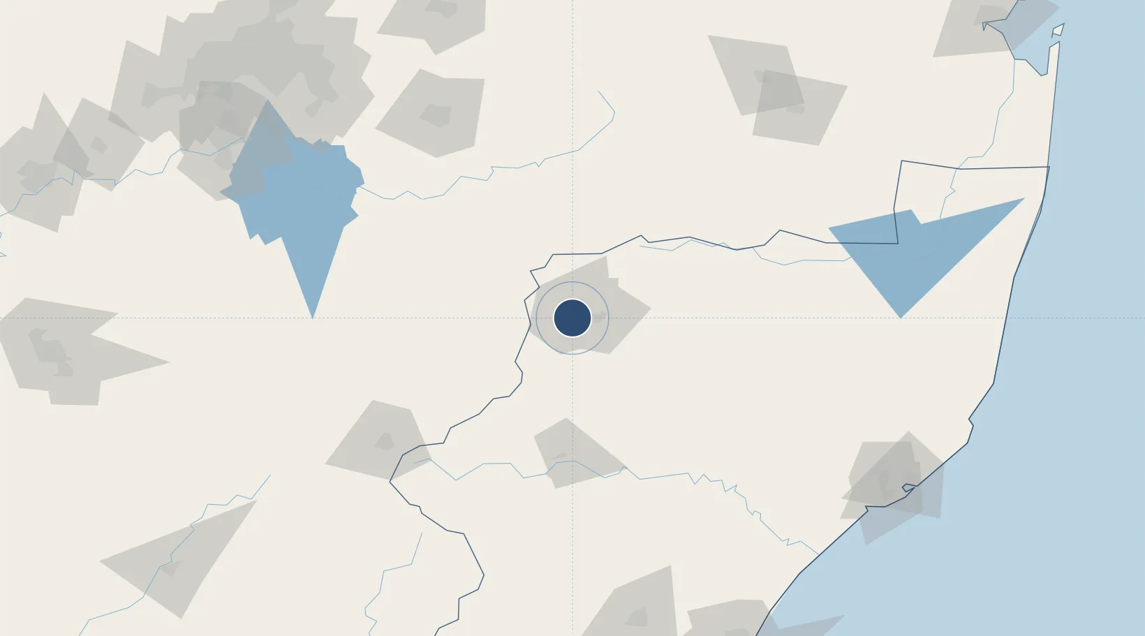
-27.7706°, 29.9769°
4,921 ft
Longest runway
1
Runways
4,074 ft
Elevation

Runway & Layout

Newcastle Airport runway & taxiway layout
Runway & taxiway layout — OpenStreetMap (ODbL) / OurAirports

Radio Frequencies

CTAF
124.8 MHz
OurAirports

Navaids

NC NDB Newcastle 415 kHz
OurAirports

Runways · 1

RunwayDimensions SurfaceTrue headingLit
11/29 4,921 × 75ft Asphalt 090°
OurAirports

Airport Specifications

IATA code
NCS
OurAirports
ICAO code
FANC
OurAirports
Airport class
Medium airport
OurAirports
Scheduled service
No
OurAirports
Runway surface
Asphalt
OurAirports
Served city
Newcastle
OurAirports

Location

Location of FANC
Natural Earth 10m (public domain) · KwaZulu-Natal · FANC · -27.77, 29.98GoogleOSMYandex

Nearby Logistics Neighbours

Airports
  1. 1Ladysmith Airport93 km
  2. 2Harrismith Airport100 km
  3. 3Ermelo Airport142 km
  4. 4Prince Mangosuthu Buthelezi Airport154 km
  5. 5Secunda Airport160 km
Nearest neighbours — logibook spatial index (haversine) over the source coordinates
Cities
  1. 1Piet Retief118 km
  2. 2Bergville123 km
  3. 3Ermelo138 km
  4. 4Nhlangano141 km
  5. 5Robertville144 km
Nearest neighbours — logibook spatial index (haversine) over the source coordinates
Ports
  1. 1Richards Bay238 km
  2. 2Durban256 km
  3. 3Maputo325 km
  4. 4East London618 km
  5. 5Inhambane691 km
Nearest neighbours — logibook spatial index (haversine) over the source coordinates
Trade Zones
  1. 1Maluti-A-Phofung Special Economic Zone110 km
  2. 2Royal Science & Technology Biotech Park189 km
  3. 3Royal Science & Technology IT Park194 km
  4. 4Isithebe Industrial Park203 km
  5. 5Durban Aerotropolis229 km
Nearest neighbours — logibook spatial index (haversine) over the source coordinates
DatabookThe Record of Consolidated Knowledge
South Africa beyond logistics?
Browse databook

All Sources

AirportsOurAirports
Public domain
Portsthe NGA World Port Index
Public domain (US gov)
LocationsUN/LOCODE
UN/LOCODE — free
Trade Zonesthe World Bank SEZ database
CC BY 4.0
Trade ZonesOpen Zone Map
CC BY
InfrastructureOpenStreetMap
ODbL 1.0
← South Africa airports