Transport Functions
Multimodal
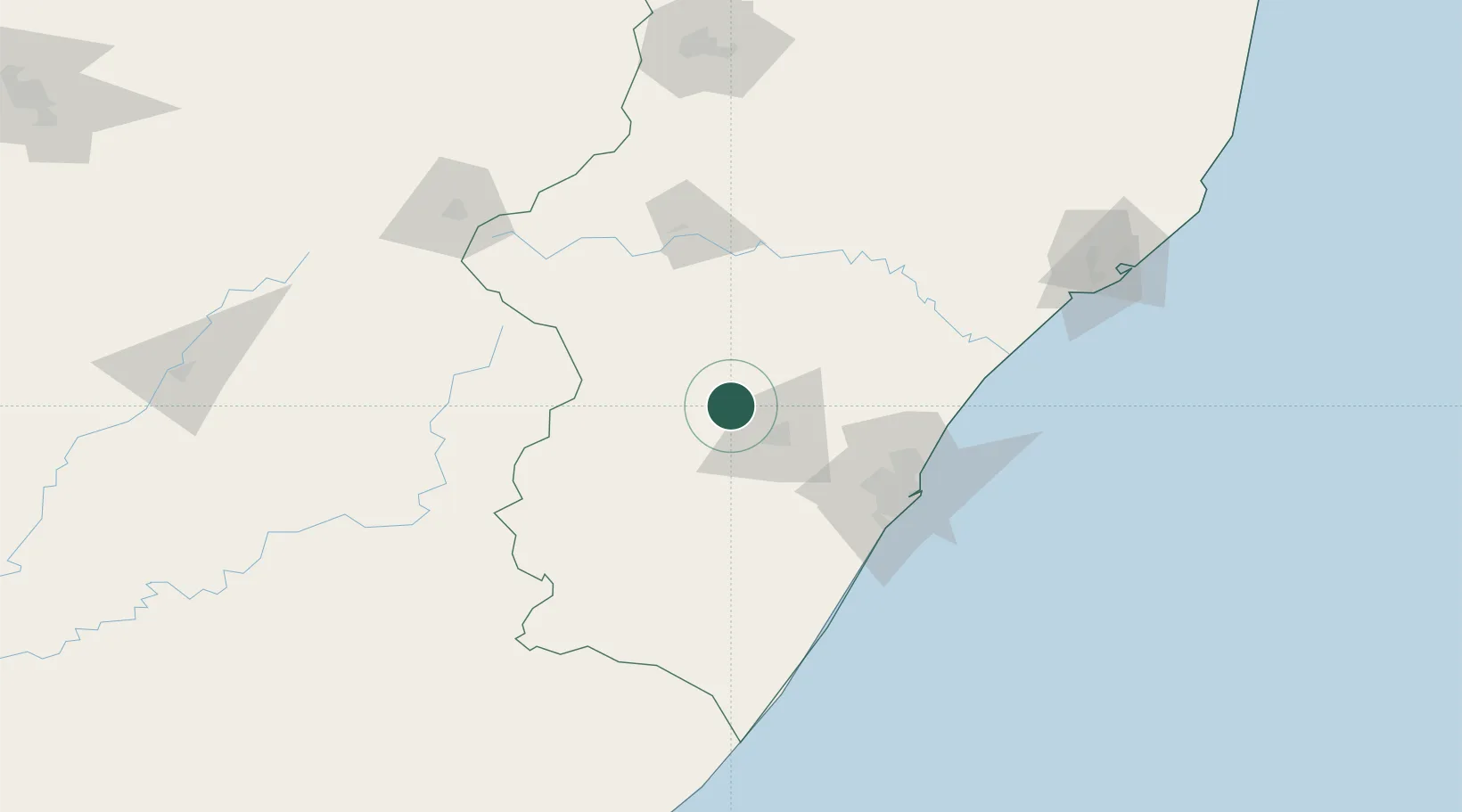
Hub Profile
Place type
Populated place
Region
KwaZulu-Natal
Time zone
Africa/Johannesburg
Elevation
1,077 m
Location
Nearby Logistics Neighbours
Cities
- 1Nottingham Road20 km
- 2City Centre25 km
- 3Wartburg42 km
- 4Umgeni Dam47 km
- 5Creighton70 km
Ports
- 1Durban99 km
- 2Richards Bay203 km
- 3East London450 km
- 4Maputo455 km
- 5Port Elizabeth656 km
Airports
- 1Pietermaritzburg Airport32 km
- 2Virginia Airport94 km
- 3King Shaka International Airport95 km
- 4Ladysmith Airport106 km
- 5Margate Airport156 km
Trade Zones
- 1Dube AgriZone93 km
- 2Durban Aerotropolis93 km
- 3Dube TradePort93 km
- 4Dube TradeZone95 km
- 5Isithebe Industrial Park129 km
DatabookThe Record of Consolidated Knowledge
South Africa beyond logistics?