UN/LOCODE hub · South Africa
ZANNL

Nottingham Road

-29.3500°, 30.0000°
2
Transport functions

Transport Functions

Port
Multimodal
UN/LOCODE

Hub Profile

Place type
Populated place
GeoNames
Region
KwaZulu-Natal
GeoNames
Time zone
Africa/Johannesburg
GeoNames
Elevation
1,463 m
GeoNames

Location

Location of ZANNL
Natural Earth 10m (public domain) · KwaZulu-Natal · ZANNL · -29.35, 30.00GoogleOSMYandex

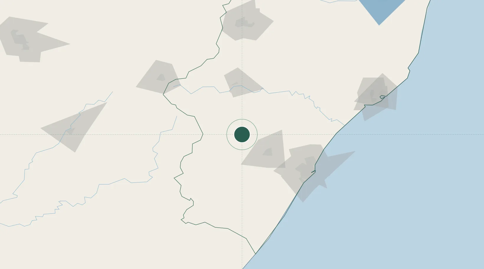
Nearby Logistics Neighbours

Cities
  1. 1Lions River20 km
  2. 2City Centre44 km
  3. 3Wartburg57 km
  4. 4Umgeni Dam65 km
  5. 5Creighton78 km
Nearest neighbours — logibook spatial index (haversine) over the source coordinates
Ports
  1. 1Durban118 km
  2. 2Richards Bay213 km
  3. 3Maputo452 km
  4. 4East London455 km
  5. 5Port Elizabeth657 km
Nearest neighbours — logibook spatial index (haversine) over the source coordinates
Airports
  1. 1Pietermaritzburg Airport51 km
  2. 2Ladysmith Airport89 km
  3. 3King Shaka International Airport112 km
  4. 4Virginia Airport113 km
  5. 5Harrismith Airport152 km
Nearest neighbours — logibook spatial index (haversine) over the source coordinates
Trade Zones
  1. 1Dube AgriZone110 km
  2. 2Durban Aerotropolis110 km
  3. 3Dube TradePort111 km
  4. 4Dube TradeZone112 km
  5. 5Isithebe Industrial Park140 km
Nearest neighbours — logibook spatial index (haversine) over the source coordinates
DatabookThe Record of Consolidated Knowledge
South Africa beyond logistics?
Browse databook

All Sources

LocationsUN/LOCODE
UN/LOCODE — free
Portsthe NGA World Port Index
Public domain (US gov)
AirportsOurAirports
Public domain
Trade Zonesthe World Bank SEZ database
CC BY 4.0
Trade ZonesOpen Zone Map
CC BY
← South Africa locations