Medium airport · South Africa
Prince Mangosuthu Buthelezi AirportFAUL
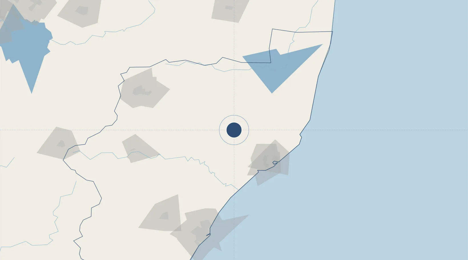
-28.3206°, 31.4165°
5,381 ft
Longest runway
1
Runways
1,720 ft
Elevation
Runway & Layout

Radio Frequencies
CTAF
124.8 MHz
Navaids
SMH NDB Ulundi 458 kHz
UD NDB Ulundi 268 kHz
UL NDB Ulundi 422 kHz
UL DME Ulundi 115.40 MHz
Runways · 1
| Runway | Dimensions | Surface | True heading | Lit |
|---|---|---|---|---|
| 05/23 | 5,381 × 75ft | Asphalt | 034° | ✓ |
Airport Specifications
IATA code
ULD
ICAO code
FAUL
Airport class
Medium airport
Scheduled service
No
Runway surface
Asphalt
Served city
Ulundi
Location
Nearby Logistics Neighbours
Airports
- 1Richards Bay Airport81 km
- 2Mkuze Airport99 km
- 3King Shaka International Airport147 km
- 4Newcastle Airport154 km
- 5Virginia Airport165 km
Cities
- 1Wandsbeck27 km
- 2Felixton72 km
- 3Alton77 km
- 4Isithebe87 km
- 5Compensation133 km
Ports
- 1Richards Bay86 km
- 2Durban175 km
- 3Maputo285 km
- 4East London622 km
- 5Inhambane631 km
Trade Zones
- 1Richards Bay Special Economic Zone78 km
- 2Isithebe Industrial Park86 km
- 3Durban Aerotropolis143 km
- 4Dube TradeZone146 km
- 5Dube AgriZone147 km
DatabookThe Record of Consolidated Knowledge
South Africa beyond logistics?