Large airport · South Africa
King Shaka International AirportFALE
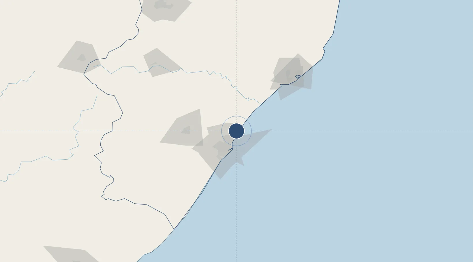
-29.6144°, 31.1197°
12,139 ft
Longest runway
1
Runways
295 ft
Elevation
Runway & Layout

Radio Frequencies
DURBAN Approach
125.75 MHz
KING SHAKA ATIS
127 MHz
KING SHAKA INT.
118.45 MHz
KING SHAKA INT. Tower
KING SHAKA INT.
121.65 MHz
VOT TGV
115.6 MHz
Runways · 1
| Runway | Dimensions | Surface | True heading | Lit |
|---|---|---|---|---|
| 06/24 | 12,139 × 197ft | Asphalt | 061° | — |
Airport Specifications
IATA code
DUR
ICAO code
FALE
Airport class
Large airport
Scheduled service
Yes
Runway surface
Asphalt
Served city
Durban
Location
Nearby Logistics Neighbours
Airports
- 1Virginia Airport18 km
- 2Pietermaritzburg Airport70 km
- 3Richards Bay Airport135 km
- 4Prince Mangosuthu Buthelezi Airport147 km
- 5Margate Airport157 km
Cities
- 1Canelands7 km
- 2Umhlanga Rocks12 km
- 3Ballito Bay13 km
- 4Compensation14 km
- 5La Lucia16 km
Ports
- 1Durban29 km
- 2Richards Bay131 km
- 3Maputo430 km
- 4East London487 km
- 5Port Elizabeth707 km
Trade Zones
- 1Dube TradeZone1 km
- 2Dube TradePort3 km
- 3Dube AgriZone3 km
- 4Durban Aerotropolis5 km
- 5Isithebe Industrial Park64 km
DatabookThe Record of Consolidated Knowledge
South Africa beyond logistics?