Small airport · Germany
Emden AirportEDWE
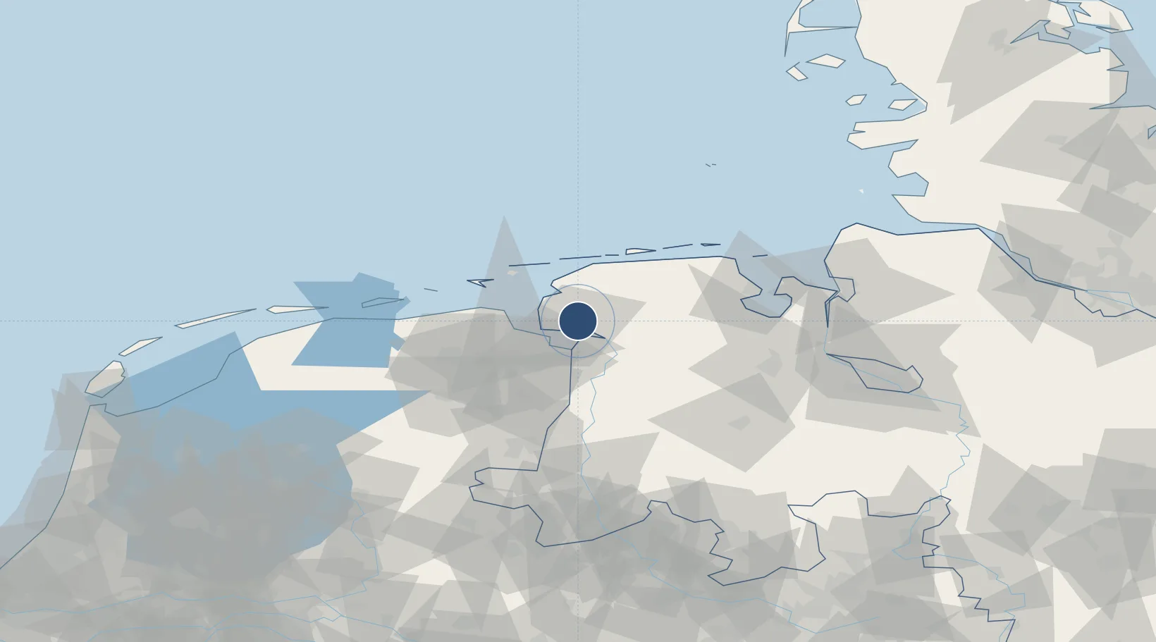
53.3911°, 7.2275°
4,265 ft
Longest runway
1
Runways
3 ft
Elevation
Runway & Layout

Radio Frequencies
APP
123.6 MHz
WITTMUND/JEVER RADAR
AFIS
128.525 MHz
Langen Information
INFO
118.605 MHz
ENDEM INFORMATION
RDR
124.65 MHz
BREMEN RADAR
Navaids
EMD NDB Emden 345 kHz
ENW DME Emden 115.25 MHz
Runways · 1
| Runway | Dimensions | Surface | True heading | Lit |
|---|---|---|---|---|
| 07/25 | 4,265 × 98ft | Asphalt | 073° | ✓ |
Airport Specifications
IATA code
EME
ICAO code
EDWE
Airport class
Small airport
Scheduled service
Yes
Runway surface
Asphalt
Served city
Emden
Location
Nearby Logistics Neighbours
Airports
- 1Norden-Norddeich Airport27 km
- 2Wittmundhafen Air Base34 km
- 3Juist Airport34 km
- 4Norderney Airport35 km
- 5Baltrum Airport38 km
Cities
- 1Emden3 km
- 2Ditzum9 km
- 3Oldersum10 km
- 4Greetsiel15 km
- 5Südbrookmerland15 km
Trade Zones
DatabookThe Record of Consolidated Knowledge
Germany beyond logistics?