Runway & Layout

Airport Specifications
Airport class
Small airport
Scheduled service
Yes
Served city
Tarup
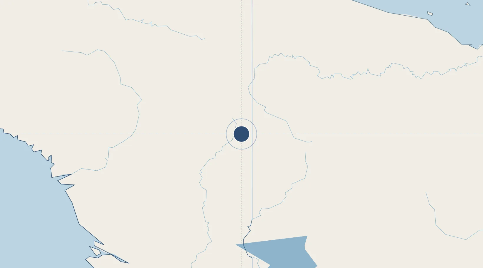
Location
Nearby Logistics Neighbours
Airports
- 1Iwur Airstrip12 km
- 2Molding Airstrip25 km
- 3Oksibil Airport30 km
- 4Tinibil Airstrip31 km
- 5Kubibkop Airport37 km
Cities
- 1Asike178 km
- 2Aiambak255 km
- 3Kassue275 km
- 4Jayapura, Irian Jaya284 km
- 5Yentchan290 km
Ports
- 1Vanimo271 km
- 2Wewak Harbor355 km
- 3Merauke380 km
- 4Amamapare428 km
- 5Daru513 km
Trade Zones
DatabookThe Record of Consolidated Knowledge
Indonesia beyond logistics?