Small airport · Papua New Guinea
Tabubil AirportAYTB
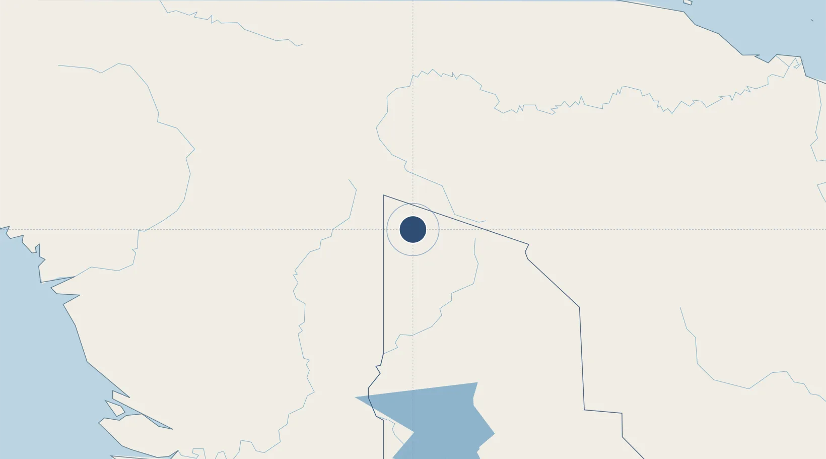
-5.2805°, 141.2276°
4,232 ft
Longest runway
1
Runways
1,570 ft
Elevation
Runway & Layout

Navaids
OKT NDB-DME Ok Tedi 0.16 MHz
Runways · 1
| Runway | Dimensions | Surface | True heading | Lit |
|---|---|---|---|---|
| 14/32 | 4,232 × —ft | Unknown | — | — |
Airport Specifications
IATA code
TBG
ICAO code
AYTB
Airport class
Small airport
Scheduled service
Yes
Runway surface
Unknown
Served city
Tabubil
Location
Nearby Logistics Neighbours
Airports
- 1Tarup Airstrip49 km
- 2Iwur Airstrip59 km
- 3Tinibil Airstrip64 km
- 4Molding Airstrip69 km
- 5Okyap Airstrip73 km
Ports
- 1Vanimo289 km
- 2Wewak Harbor328 km
- 3Merauke368 km
- 4Daru474 km
- 5Amamapare475 km
Trade Zones
DatabookThe Record of Consolidated Knowledge
Papua New Guinea beyond logistics?