Small airport · Solomon Islands

Santa Ana AirportAGGT
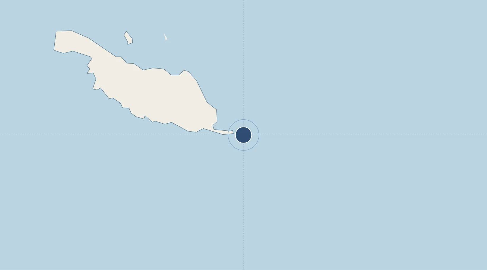
-10.8480°, 162.4541°
2,655 ft
Longest runway
1
Runways
3 ft
Elevation

Runway & Layout

Santa Ana Airport runway & taxiway layout
Runway & taxiway layout — OpenStreetMap (ODbL) / OurAirports

Runways · 1

RunwayDimensions SurfaceTrue headingLit
11/29 2,655 × 75ft Coral
OurAirports

Airport Specifications

IATA code
NNB
OurAirports
ICAO code
AGGT
OurAirports
Airport class
Small airport
OurAirports
Scheduled service
Yes
OurAirports
Runway surface
Coral
OurAirports
Served city
Santa Ana Island
OurAirports

Location

Location of AGGT
Natural Earth 10m (public domain) · Kiribati · AGGT · -10.85, 162.45GoogleOSMYandex

Nearby Logistics Neighbours

Airports
  1. 1Ngorangora Airport75 km
  2. 2Marau Airport209 km
  3. 3Rennell/Tingoa Airport272 km
  4. 4Bellona/Anua Airport294 km
  5. 5Honiara International Airport306 km
Nearest neighbours — logibook spatial index (haversine) over the source coordinates
Cities
  1. 1Honiara, Guadalcanal Is316 km
  2. 2Nemba355 km
  3. 3Lata366 km
  4. 4Yandina, Russell Island403 km
  5. 5Lever Harbour619 km
Nearest neighbours — logibook spatial index (haversine) over the source coordinates
Ports
  1. 1Honiara317 km
  2. 2Tulaghi319 km
  3. 3Yandina405 km
  4. 4Port Noro648 km
  5. 5Ringgi Cove661 km
Nearest neighbours — logibook spatial index (haversine) over the source coordinates
Trade Zones
  1. 1Tulagi Island Special Economic Zone320 km
  2. 2Vanuatu Economic Development Zone727 km
  3. 3Bana (Bougainville) Special Economic Zone1086 km
  4. 4Ledger Atlas Special Economic Zone1673 km
  5. 5Paga Hill Estate Special Economic Zone1682 km
Nearest neighbours — logibook spatial index (haversine) over the source coordinates
DatabookThe Record of Consolidated Knowledge
Solomon Islands beyond logistics?
Browse databook

All Sources

AirportsOurAirports
Public domain
Portsthe NGA World Port Index
Public domain (US gov)
LocationsUN/LOCODE
UN/LOCODE — free
Trade Zonesthe World Bank SEZ database
CC BY 4.0
Trade ZonesOpen Zone Map
CC BY
InfrastructureOpenStreetMap
ODbL 1.0
← Solomon Islands airports