Small airport · Solomon Islands

Bellona/Anua AirportAGGB
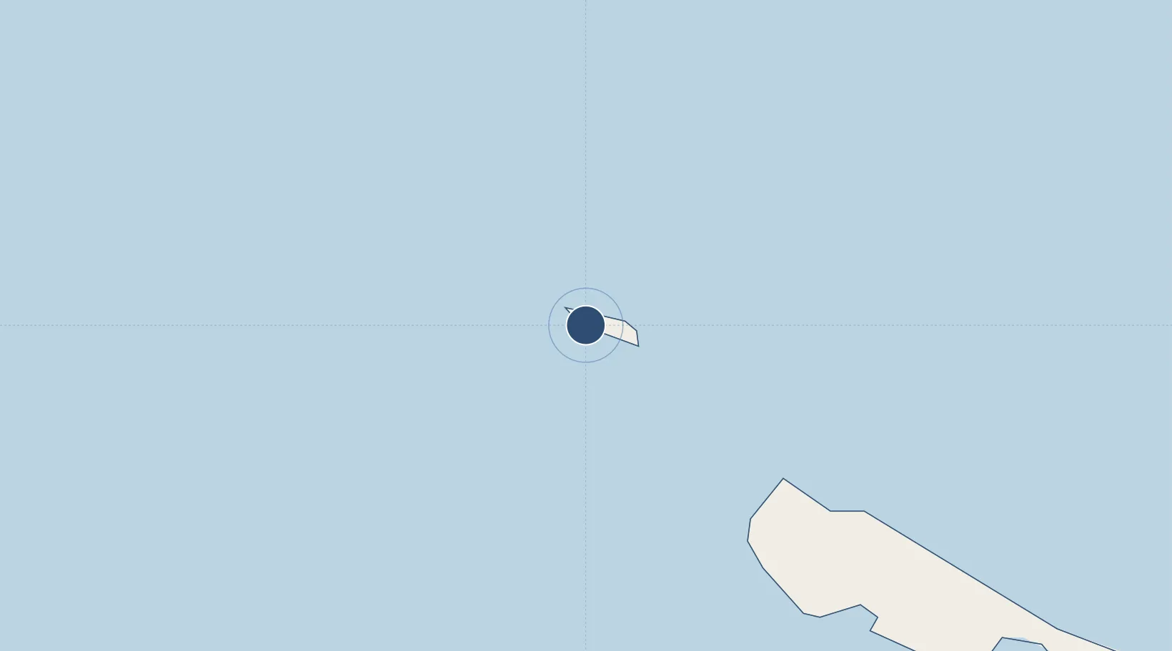
-11.3022°, 159.7983°
2,187 ft
Longest runway
1
Runways
60 ft
Elevation

Runway & Layout

Bellona/Anua Airport runway & taxiway layout
Runway & taxiway layout — OpenStreetMap (ODbL) / OurAirports

Runways · 1

RunwayDimensions SurfaceTrue headingLit
11/29 2,187 × 59ft Coral sand
OurAirports

Airport Specifications

IATA code
BNY
OurAirports
ICAO code
AGGB
OurAirports
Airport class
Small airport
OurAirports
Scheduled service
Yes
OurAirports
Runway surface
Coral sand
OurAirports
Served city
Anua
OurAirports

Location

Location of AGGB
Natural Earth 10m (public domain) · Rennell and Bellona · AGGB · -11.30, 159.80GoogleOSMYandex

Nearby Logistics Neighbours

Airports
  1. 1Rennell/Tingoa Airport40 km
  2. 2Marau Airport196 km
  3. 3Honiara International Airport210 km
  4. 4Ngorangora Airport248 km
  5. 5Yandina Airport254 km
Nearest neighbours — logibook spatial index (haversine) over the source coordinates
Cities
  1. 1Honiara, Guadalcanal Is209 km
  2. 2Yandina, Russell Island251 km
  3. 3Lever Harbour438 km
  4. 4Noro, New Georgia444 km
  5. 5Ringgi Cove, Kolombangara460 km
Nearest neighbours — logibook spatial index (haversine) over the source coordinates
Ports
  1. 1Honiara210 km
  2. 2Tulaghi248 km
  3. 3Yandina255 km
  4. 4Port Noro447 km
  5. 5Ringgi Cove461 km
Nearest neighbours — logibook spatial index (haversine) over the source coordinates
Trade Zones
  1. 1Tulagi Island Special Economic Zone248 km
  2. 2Bana (Bougainville) Special Economic Zone909 km
  3. 3Vanuatu Economic Development Zone924 km
  4. 4Paga Hill Estate Special Economic Zone1399 km
  5. 5Ledger Atlas Special Economic Zone1413 km
Nearest neighbours — logibook spatial index (haversine) over the source coordinates
DatabookThe Record of Consolidated Knowledge
Solomon Islands beyond logistics?
Browse databook

All Sources

AirportsOurAirports
Public domain
Portsthe NGA World Port Index
Public domain (US gov)
LocationsUN/LOCODE
UN/LOCODE — free
Trade Zonesthe World Bank SEZ database
CC BY 4.0
Trade ZonesOpen Zone Map
CC BY
InfrastructureOpenStreetMap
ODbL 1.0
← Solomon Islands airports