Small airport · Solomon Islands

Ngorangora AirportAGGK
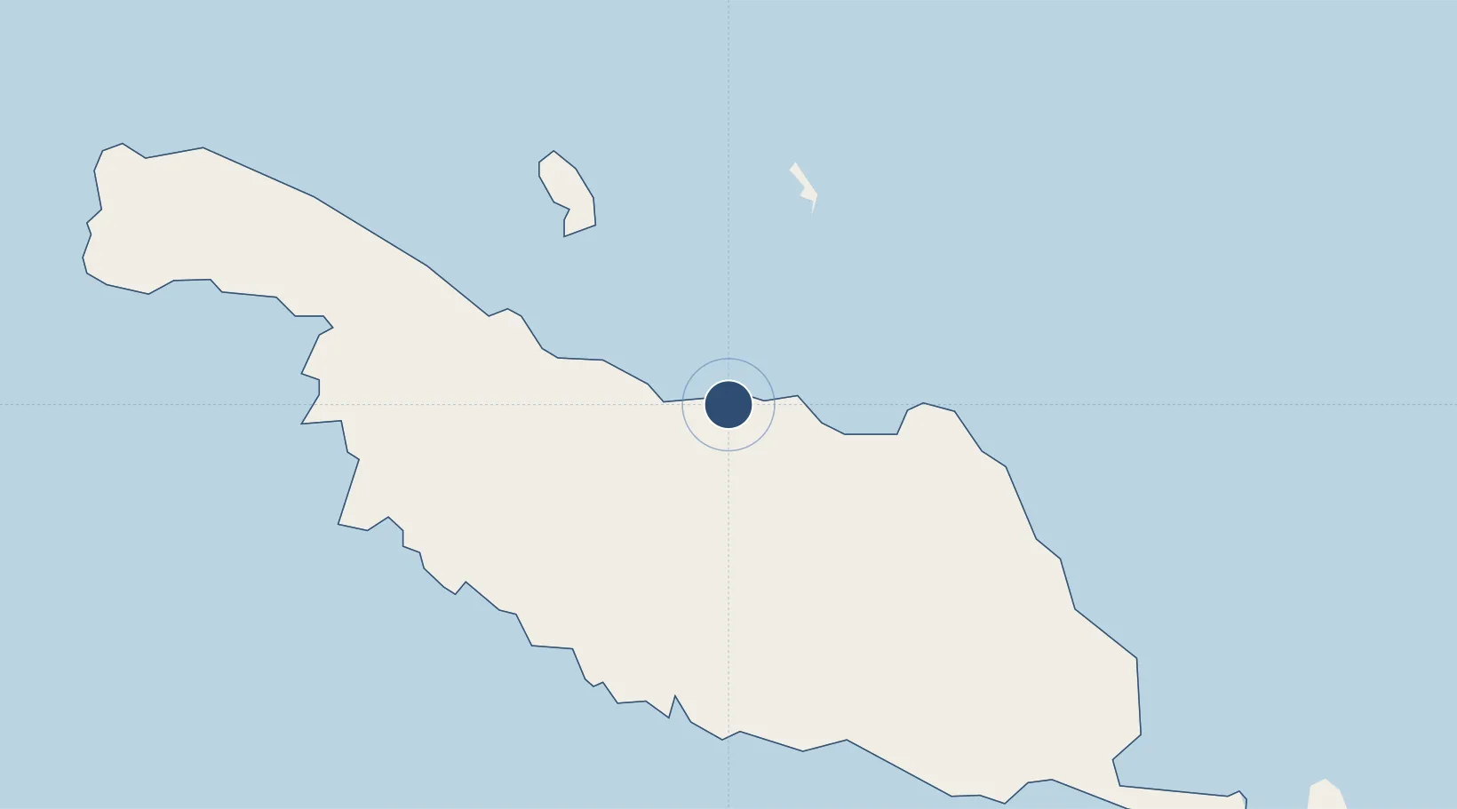
-10.4497°, 161.8980°
4,377 ft
Longest runway
1
Runways
54 ft
Elevation

Runway & Layout

Ngorangora Airport runway & taxiway layout
Runway & taxiway layout — OpenStreetMap (ODbL) / OurAirports

Runways · 1

RunwayDimensions SurfaceTrue headingLit
10/28 4,377 × —ft Unknown
OurAirports

Airport Specifications

IATA code
IRA
OurAirports
ICAO code
AGGK
OurAirports
Airport class
Small airport
OurAirports
Scheduled service
Yes
OurAirports
Runway surface
Unknown
OurAirports
Served city
Kirakira
OurAirports

Location

Location of AGGK
Natural Earth 10m (public domain) · Makira · AGGK · -10.45, 161.90GoogleOSMYandex

Nearby Logistics Neighbours

Airports
  1. 1Santa Ana Airport75 km
  2. 2Marau Airport134 km
  3. 3Honiara International Airport232 km
  4. 4Rennell/Tingoa Airport235 km
  5. 5Gwaunaru'u Airport236 km
Nearest neighbours — logibook spatial index (haversine) over the source coordinates
Cities
  1. 1Honiara, Guadalcanal Is241 km
  2. 2Yandina, Russell Island329 km
  3. 3Nemba417 km
  4. 4Lata428 km
  5. 5Lever Harbour544 km
Nearest neighbours — logibook spatial index (haversine) over the source coordinates
Ports
  1. 1Honiara242 km
  2. 2Tulaghi243 km
  3. 3Yandina331 km
  4. 4Port Noro574 km
  5. 5Ringgi Cove587 km
Nearest neighbours — logibook spatial index (haversine) over the source coordinates
Trade Zones
  1. 1Tulagi Island Special Economic Zone244 km
  2. 2Vanuatu Economic Development Zone801 km
  3. 3Bana (Bougainville) Special Economic Zone1011 km
  4. 4Ledger Atlas Special Economic Zone1603 km
  5. 5Paga Hill Estate Special Economic Zone1619 km
Nearest neighbours — logibook spatial index (haversine) over the source coordinates
DatabookThe Record of Consolidated Knowledge
Solomon Islands beyond logistics?
Browse databook

All Sources

AirportsOurAirports
Public domain
Portsthe NGA World Port Index
Public domain (US gov)
LocationsUN/LOCODE
UN/LOCODE — free
Trade Zonesthe World Bank SEZ database
CC BY 4.0
Trade ZonesOpen Zone Map
CC BY
InfrastructureOpenStreetMap
ODbL 1.0
← Solomon Islands airports