Transport Functions
Port
Road
Airport
Hub Profile
Place type
Regional capital
Region
Temotu Province
Population
553
Time zone
Pacific/Guadalcanal
Elevation
29 m
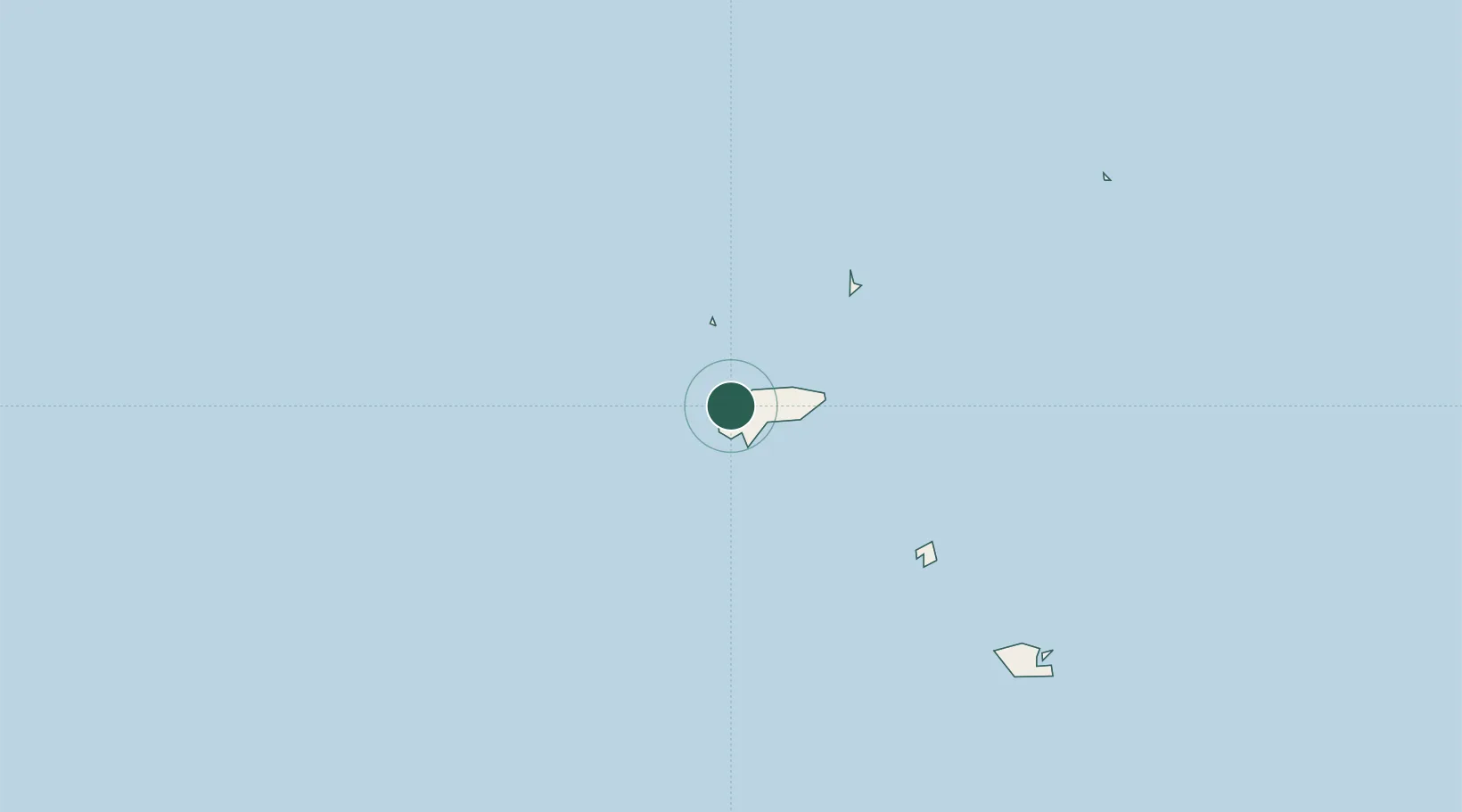
Location
Nearby Logistics Neighbours
Cities
- 1Nemba12 km
- 2Luganville556 km
- 3Honiara, Guadalcanal Is655 km
- 4Yandina, Russell Island743 km
- 5Havannah Harbour807 km
Ports
- 1Luganville554 km
- 2Tulaghi644 km
- 3Honiara657 km
- 4Yandina744 km
- 5Port Vila826 km
Airports
- 1Santa Cruz/Graciosa Bay/Luova Airport1 km
- 2Santa Ana Airport366 km
- 3Sola Airport396 km
- 4Ngorangora Airport428 km
- 5Gaua Island Airport435 km
Trade Zones
DatabookThe Record of Consolidated Knowledge
Solomon Islands beyond logistics?