UN/LOCODE hub · Solomon Islands
SBNEM

Nemba

-10.7667°, 165.7000°
2
Transport functions

Transport Functions

Port
Road
UN/LOCODE

Hub Profile

Place type
Populated place
GeoNames
Region
Temotu Province
GeoNames
Time zone
Pacific/Guadalcanal
GeoNames
Elevation
14 m
GeoNames

Location

Location of SBNEM
Natural Earth 10m (public domain) · Temotu Province · SBNEM · -10.77, 165.70GoogleOSMYandex

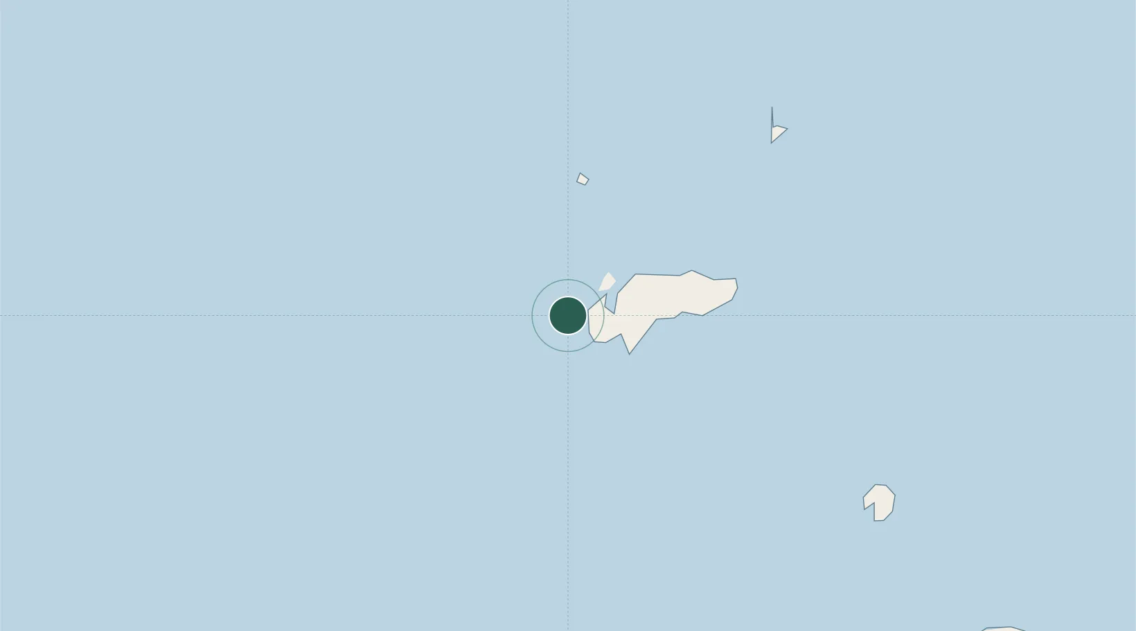
Nearby Logistics Neighbours

Cities
  1. 1Lata12 km
  2. 2Luganville553 km
  3. 3Honiara, Guadalcanal Is646 km
  4. 4Yandina, Russell Island733 km
  5. 5Havannah Harbour806 km
Nearest neighbours — logibook spatial index (haversine) over the source coordinates
Ports
  1. 1Luganville552 km
  2. 2Tulaghi636 km
  3. 3Honiara647 km
  4. 4Yandina734 km
  5. 5Port Vila824 km
Nearest neighbours — logibook spatial index (haversine) over the source coordinates
Airports
  1. 1Santa Cruz/Graciosa Bay/Luova Airport12 km
  2. 2Santa Ana Airport355 km
  3. 3Sola Airport397 km
  4. 4Ngorangora Airport417 km
  5. 5Gaua Island Airport435 km
Nearest neighbours — logibook spatial index (haversine) over the source coordinates
Trade Zones
  1. 1Vanuatu Economic Development Zone551 km
  2. 2Tulagi Island Special Economic Zone637 km
  3. 3Bana (Bougainville) Special Economic Zone1385 km
  4. 4Lautoka Special Zone1476 km
  5. 5Vanua Levu Tax-Free Region1577 km
Nearest neighbours — logibook spatial index (haversine) over the source coordinates
DatabookThe Record of Consolidated Knowledge
Solomon Islands beyond logistics?
Browse databook

All Sources

LocationsUN/LOCODE
UN/LOCODE — free
Portsthe NGA World Port Index
Public domain (US gov)
AirportsOurAirports
Public domain
Trade Zonesthe World Bank SEZ database
CC BY 4.0
Trade ZonesOpen Zone Map
CC BY
← Solomon Islands locations