Small airport · Solomon Islands

Rennell/Tingoa AirportAGGR
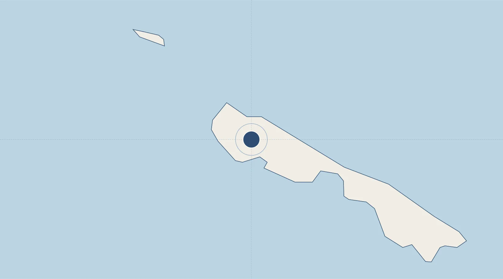
-11.5500°, 160.0628°
2,206 ft
Longest runway
1
Runways
550 ft
Elevation

Runway & Layout

Rennell/Tingoa Airport runway & taxiway layout
Runway & taxiway layout — OpenStreetMap (ODbL) / OurAirports

Runways · 1

RunwayDimensions SurfaceTrue headingLit
12/30 2,206 × 66ft Coral
OurAirports

Airport Specifications

IATA code
RNL
OurAirports
ICAO code
AGGR
OurAirports
Airport class
Small airport
OurAirports
Scheduled service
Yes
OurAirports
Runway surface
Coral
OurAirports
Served city
Rennell Island
OurAirports

Location

Location of AGGR
Natural Earth 10m (public domain) · Rennell and Bellona · AGGR · -11.55, 160.06GoogleOSMYandex

Nearby Logistics Neighbours

Airports
  1. 1Bellona/Anua Airport40 km
  2. 2Marau Airport205 km
  3. 3Ngorangora Airport235 km
  4. 4Honiara International Airport236 km
  5. 5Santa Ana Airport272 km
Nearest neighbours — logibook spatial index (haversine) over the source coordinates
Cities
  1. 1Honiara, Guadalcanal Is236 km
  2. 2Yandina, Russell Island286 km
  3. 3Lever Harbour477 km
  4. 4Noro, New Georgia484 km
  5. 5Ringgi Cove, Kolombangara500 km
Nearest neighbours — logibook spatial index (haversine) over the source coordinates
Ports
  1. 1Honiara238 km
  2. 2Tulaghi273 km
  3. 3Yandina290 km
  4. 4Port Noro487 km
  5. 5Ringgi Cove501 km
Nearest neighbours — logibook spatial index (haversine) over the source coordinates
Trade Zones
  1. 1Tulagi Island Special Economic Zone272 km
  2. 2Vanuatu Economic Development Zone885 km
  3. 3Bana (Bougainville) Special Economic Zone948 km
  4. 4Paga Hill Estate Special Economic Zone1431 km
  5. 5Ledger Atlas Special Economic Zone1450 km
Nearest neighbours — logibook spatial index (haversine) over the source coordinates
DatabookThe Record of Consolidated Knowledge
Solomon Islands beyond logistics?
Browse databook

All Sources

AirportsOurAirports
Public domain
Portsthe NGA World Port Index
Public domain (US gov)
LocationsUN/LOCODE
UN/LOCODE — free
Trade Zonesthe World Bank SEZ database
CC BY 4.0
Trade ZonesOpen Zone Map
CC BY
InfrastructureOpenStreetMap
ODbL 1.0
← Solomon Islands airports