Transport Functions
Rail
Road
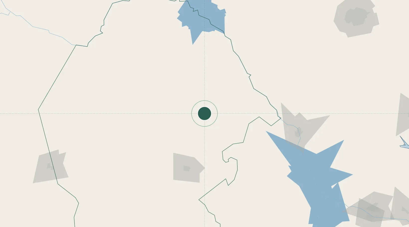
Hub Profile
Place type
Provincial seat
Region
Coahuila
Population
54,905
Time zone
America/Monterrey
Elevation
342 m
Location
Nearby Logistics Neighbours
Cities
- 1Colombia136 km
- 2Nuevo Laredo162 km
- 3Laughlin Air Force Base170 km
- 4Dilley212 km
- 5Oilton216 km
Ports
- 1Corpus Christi366 km
- 2Port Ingleside387 km
- 3Port Aransas400 km
- 4Rockport400 km
- 5Brownsville425 km
Airports
Trade Zones
- 1FTZ No. 096 Eagle Pass112 km
- 2FTZ No. 094 Laredo166 km
- 3FTZ No. 095 Starr County280 km
- 4FTZ No. 080 San Antonio290 km
- 5FTZ No. 012 McAllen340 km
DatabookThe Record of Consolidated Knowledge
Mexico beyond logistics?