Transport Functions
Rail
Road
Hub Profile
Place type
Populated place
Region
Texas
Population
689
Time zone
America/Chicago
Elevation
299 m
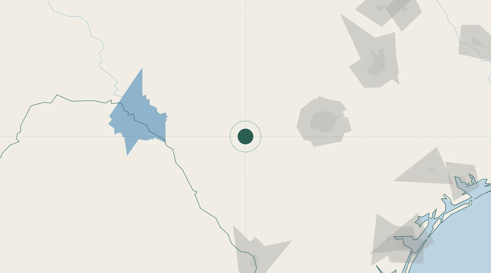
Location
Nearby Logistics Neighbours
Ports
- 1Corpus Christi274 km
- 2Rockport290 km
- 3Port Ingleside291 km
- 4Port Aransas300 km
- 5Port Lavaca303 km
Airports
- 1Lackland Air Force Base102 km
- 2Laughlin Air Force Base111 km
- 3Stinson Municipal Airport113 km
- 4Piedras Negras International Airport115 km
- 5San Antonio International Airport116 km
Trade Zones
- 1FTZ No. 080 San Antonio84 km
- 2FTZ No. 096 Eagle Pass108 km
- 3FTZ No. 094 Laredo196 km
- 4FTZ No. 183 Austin212 km
- 5FTZ No. 122 Corpus Christi274 km
DatabookThe Record of Consolidated Knowledge
United States beyond logistics?