Medium airport · United States
Laredo International AirportKLRD
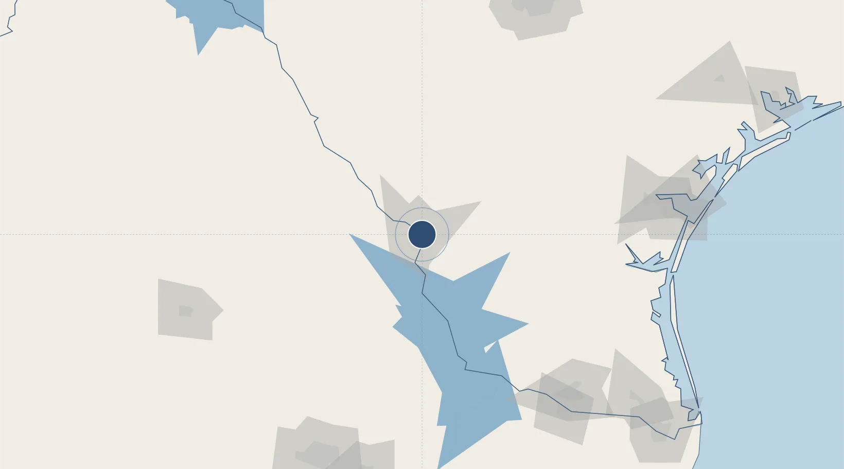
27.5438°, -99.4616°
8,743 ft
Longest runway
3
Runways
508 ft
Elevation
Runway & Layout

Radio Frequencies
ATIS
125.775 MHz
TWR
120.1 MHz
GND
121.8 MHz
CTAF
120.1 MHz
CNTR
127.8 MHz
HOUSTON CNTR
RDO
122.3 MHz
SAN ANGELO RDO
UNIC
122.95 MHz
UNICOM
Navaids
LR NDB Pekks 405 kHz
Runways · 3
| Runway | Dimensions | Surface | True heading | Lit |
|---|---|---|---|---|
| 18R/36L | 8,743 × 150ft | Asphalt | 183° | ✓ |
| 18L/36R | 8,236 × 150ft | Concrete | 183° | ✓ |
| 14/32 | 5,927 × 150ft | Concrete | 147° | ✓ |
Airport Specifications
IATA code
LRD
ICAO code
KLRD
Airport class
Medium airport
Scheduled service
Yes
Runway surface
Asphalt
Served city
Laredo
Location
Nearby Logistics Neighbours
Airports
Cities
- 1Nuevo Laredo7 km
- 2Colombia33 km
- 3Oilton50 km
- 4Hebbronville82 km
- 5San Diego124 km
Ports
- 1Corpus Christi205 km
- 2Port Ingleside226 km
- 3Port Aransas240 km
- 4Rockport243 km
- 5Brownsville271 km
Trade Zones
- 1FTZ No. 094 Laredo0 km
- 2FTZ No. 095 Starr County145 km
- 3FTZ No. 096 Eagle Pass164 km
- 4FTZ No. 012 McAllen195 km
- 5FTZ No. 122 Corpus Christi205 km
DatabookThe Record of Consolidated Knowledge
United States beyond logistics?