Medium airport · United States
Laughlin Air Force BaseKDLF
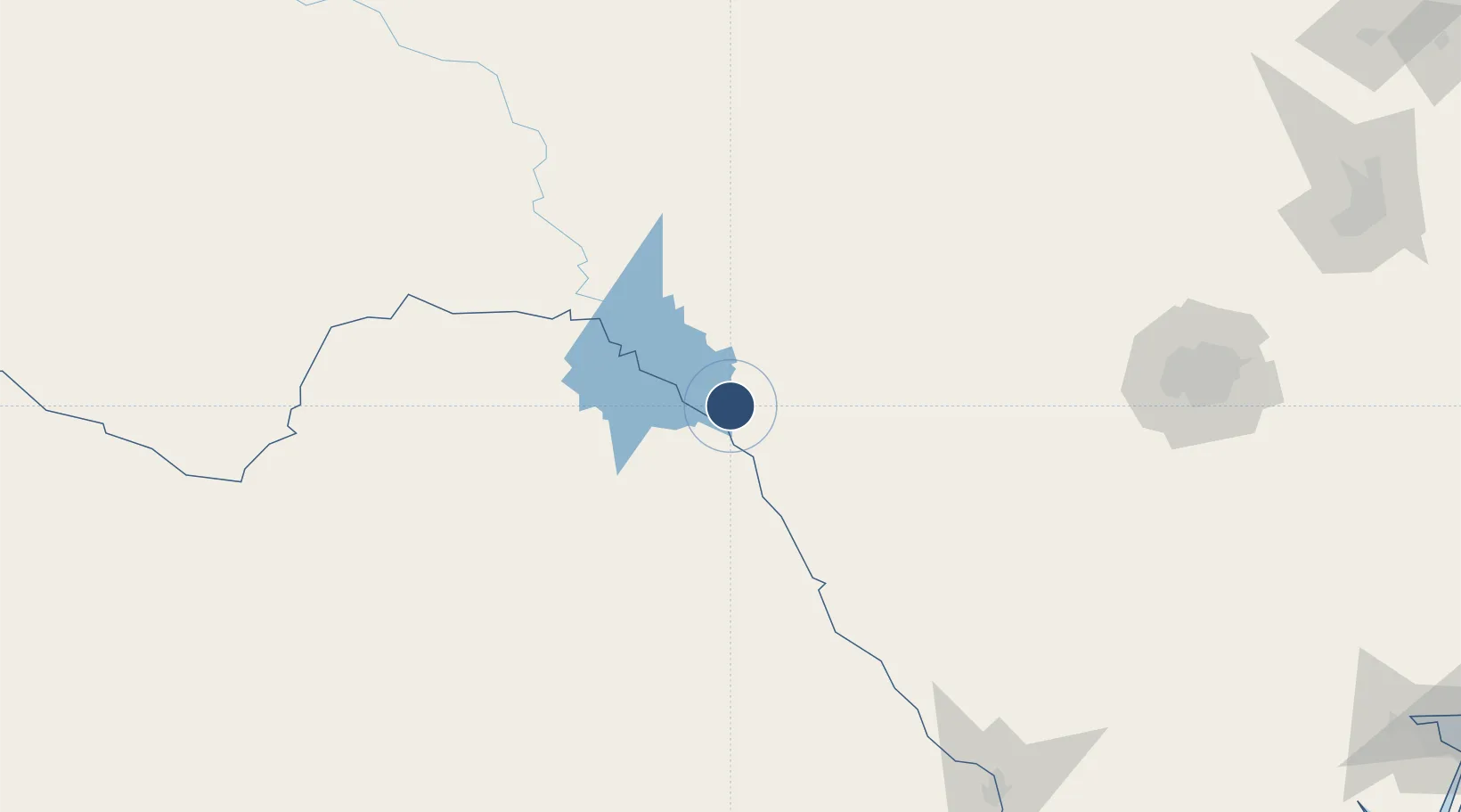
29.3595°, -100.7780°
8,852 ft
Longest runway
3
Runways
1,082 ft
Elevation
Runway & Layout

Radio Frequencies
ATIS
114.4 MHz
TWR
125.2 MHz
GND
138.75 MHz
CLD
120.5 MHz
CLNC DEL
APP
119.6 MHz
DEL RIO APP
DEP
119.6 MHz
DEL RIO DEP
PMSV
35.46 MHz
PMSV METRO
PTD
37.22 MHz
Navaids
DLF VORTAC Laughlin 114.40 MHz
Runways · 3
| Runway | Dimensions | Surface | True heading | Lit |
|---|---|---|---|---|
| 13C/31C | 8,852 × 150ft | Asphalt / concrete | 135° | ✓ |
| 13L/31R | 8,316 × 150ft | Asphalt / concrete | 135° | ✓ |
| 13R/31L | 6,571 × 150ft | Asphalt | 135° | ✓ |
Airport Specifications
IATA code
DLF
ICAO code
KDLF
Airport class
Medium airport
Scheduled service
No
Runway surface
Asphalt / concrete
Served city
Del Rio
Location
Nearby Logistics Neighbours
Airports
Cities
- 1Laughlin Air Force Base2 km
- 2Knippa111 km
- 3Sabinal127 km
- 4D'Hanis145 km
- 5Medina157 km
Ports
- 1Corpus Christi372 km
- 2Port Ingleside391 km
- 3Rockport393 km
- 4Port Aransas402 km
- 5Port Lavaca413 km
Trade Zones
- 1FTZ No. 096 Eagle Pass78 km
- 2FTZ No. 080 San Antonio193 km
- 3FTZ No. 094 Laredo239 km
- 4FTZ No. 183 Austin310 km
- 5FTZ No. 165 Midland326 km
DatabookThe Record of Consolidated Knowledge
United States beyond logistics?