Medium airport · Mexico

Piedras Negras International AirportMMPG

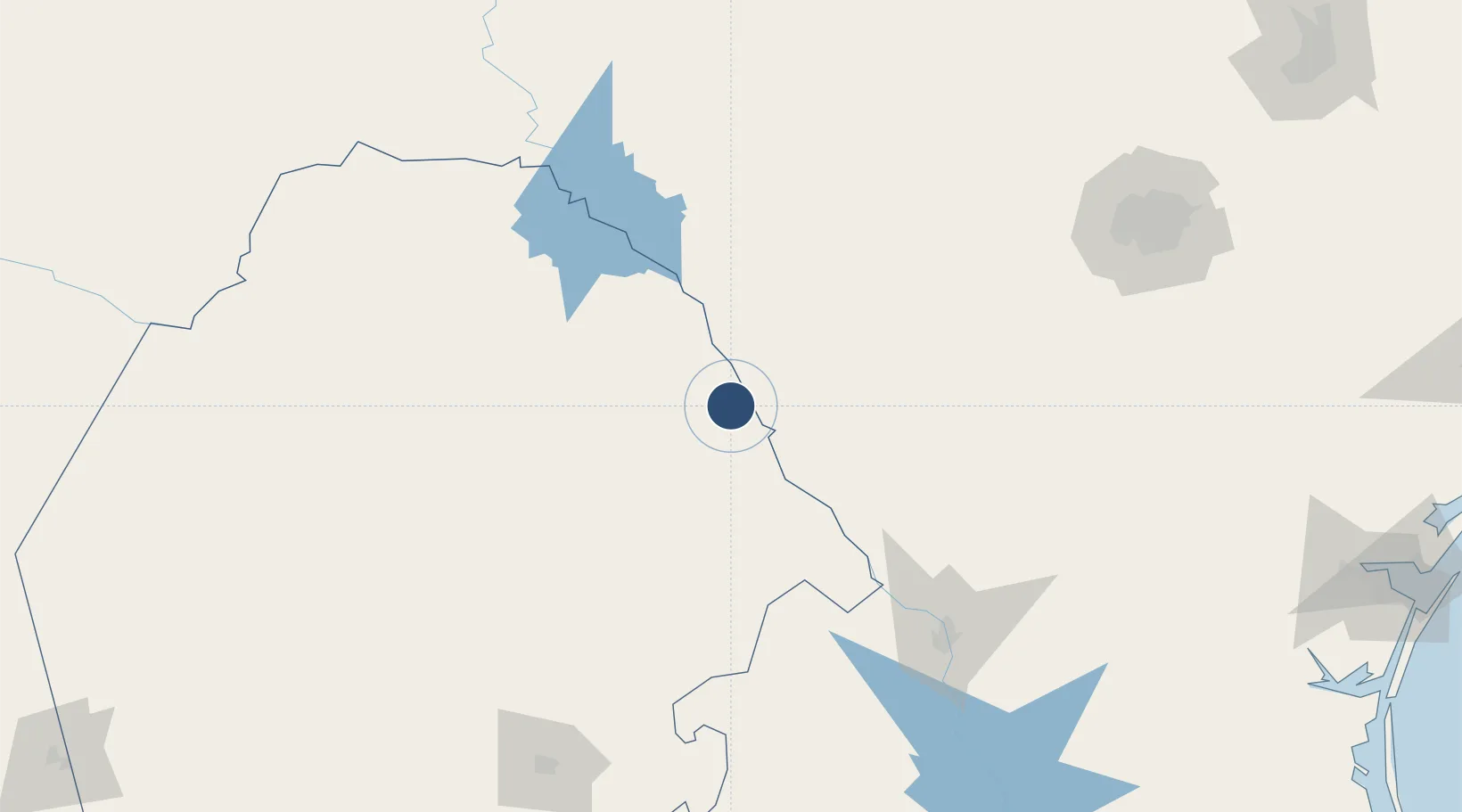
28.6279°, -100.5352°
6,655 ft
Longest runway
1
Runways
901 ft
Elevation

Runway & Layout

Piedras Negras International Airport runway & taxiway layout
Runway & taxiway layout — OpenStreetMap (ODbL) / OurAirports

Radio Frequencies

AFIS
122.25 MHz
INFO
OurAirports

Navaids

PNG VOR-DME Piedras 113.60 MHz
OurAirports

Runways · 1

RunwayDimensions SurfaceTrue headingLit
12/30 6,655 × 98ft Asphalt 127°
OurAirports

Airport Specifications

IATA code
PDS
OurAirports
ICAO code
MMPG
OurAirports
Airport class
Medium airport
OurAirports
Scheduled service
Yes
OurAirports
Runway surface
Asphalt
OurAirports
Served city
Piedras Negras
OurAirports

Location

Location of MMPG
Natural Earth 10m (public domain) · Coahuila · MMPG · 28.63, -100.54GoogleOSMYandex

Nearby Logistics Neighbours

Airports
  1. 1Laughlin Air Force Base85 km
  2. 2Del Rio International Airport91 km
  3. 3Laredo International Airport160 km
  4. 4Quetzalcóatl International Airport162 km
  5. 5Monclova International Airport207 km
Nearest neighbours — logibook spatial index (haversine) over the source coordinates
Cities
  1. 1Laughlin Air Force Base84 km
  2. 2Sabinas104 km
  3. 3Knippa115 km
  4. 4Colombia129 km
  5. 5Sabinal129 km
Nearest neighbours — logibook spatial index (haversine) over the source coordinates
Ports
  1. 1Corpus Christi320 km
  2. 2Port Ingleside341 km
  3. 3Rockport348 km
  4. 4Port Aransas353 km
  5. 5Port Lavaca383 km
Nearest neighbours — logibook spatial index (haversine) over the source coordinates
Trade Zones
  1. 1FTZ No. 096 Eagle Pass8 km
  2. 2FTZ No. 094 Laredo160 km
  3. 3FTZ No. 080 San Antonio194 km
  4. 4FTZ No. 095 Starr County302 km
  5. 5FTZ No. 122 Corpus Christi320 km
Nearest neighbours — logibook spatial index (haversine) over the source coordinates
DatabookThe Record of Consolidated Knowledge
Mexico beyond logistics?
Browse databook

All Sources

AirportsOurAirports
Public domain
Portsthe NGA World Port Index
Public domain (US gov)
LocationsUN/LOCODE
UN/LOCODE — free
Trade Zonesthe World Bank SEZ database
CC BY 4.0
Trade ZonesOpen Zone Map
CC BY
InfrastructureOpenStreetMap
ODbL 1.0
← Mexico airports