Medium airport · United States

Del Rio International AirportKDRT

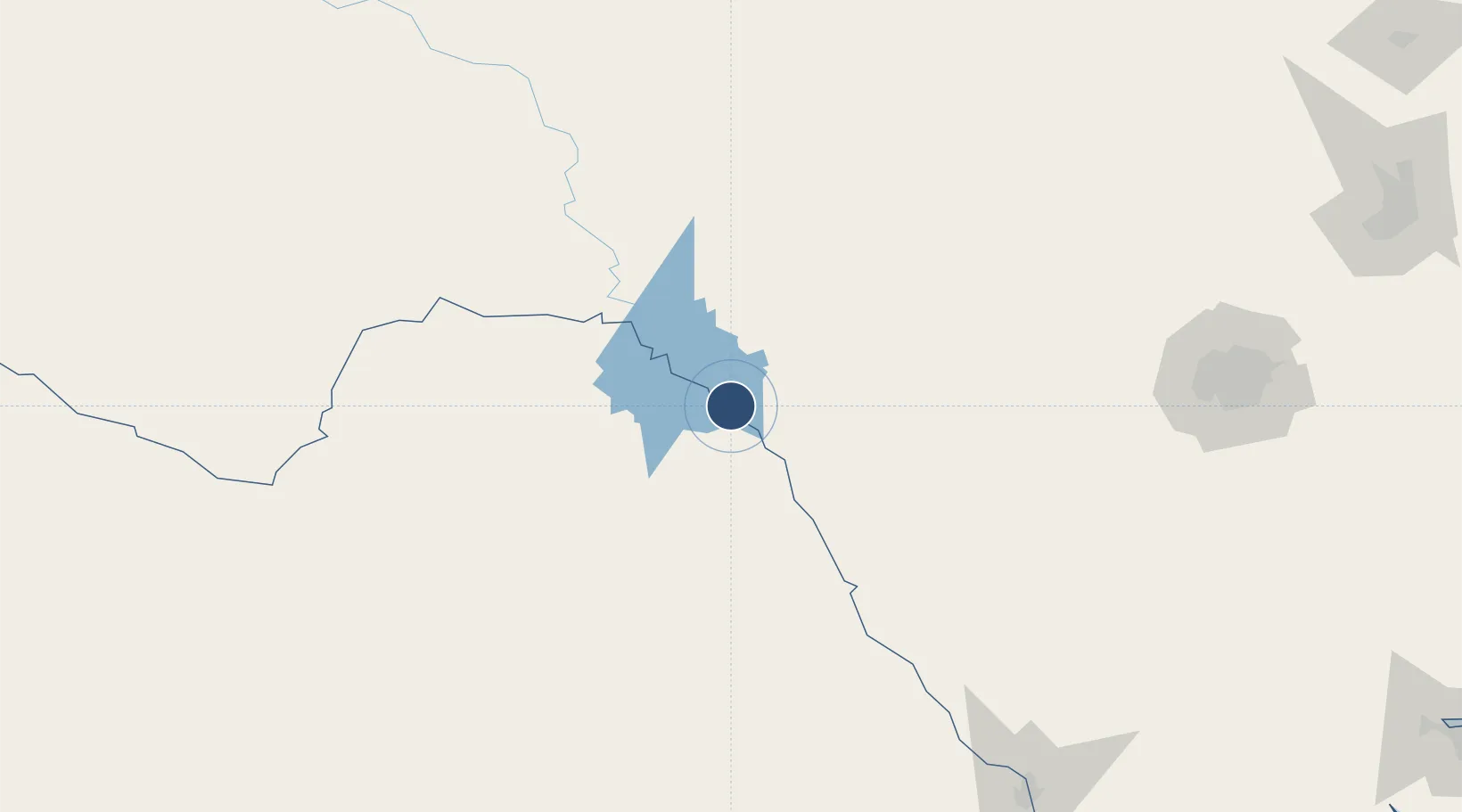
29.3742°, -100.9270°
6,300 ft
Longest runway
1
Runways
1,002 ft
Elevation

Runway & Layout

Del Rio International Airport runway & taxiway layout
Runway & taxiway layout — OpenStreetMap (ODbL) / OurAirports

Radio Frequencies

ASOS
118.525 MHz
CLD
120.5 MHz
CLNC DEL
APP
119.6 MHz
DEP
119.6 MHz
RDO
122.3 MHz
SAN ANGELO RDO
UNIC
122.8 MHz
CTAF/UNICOM
OurAirports

Navaids

DR NDB Kotti 335 kHz
OurAirports

Runways · 1

RunwayDimensions SurfaceTrue headingLit
13/31 6,300 × 100ft Asphalt 140°
OurAirports

Airport Specifications

IATA code
DRT
OurAirports
ICAO code
KDRT
OurAirports
Airport class
Medium airport
OurAirports
Scheduled service
No
OurAirports
Runway surface
Asphalt
OurAirports
Served city
Del Rio
OurAirports

Location

Location of KDRT
Natural Earth 10m (public domain) · Texas · KDRT · 29.37, -100.93GoogleOSMYandex

Nearby Logistics Neighbours

Airports
  1. 1Laughlin Air Force Base15 km
  2. 2Piedras Negras International Airport91 km
  3. 3Sonora Municipal Airport137 km
  4. 4Kimble County Airport169 km
  5. 5San Angelo Regional Mathis Field224 km
Nearest neighbours — logibook spatial index (haversine) over the source coordinates
Cities
  1. 1Laughlin Air Force Base13 km
  2. 2Knippa126 km
  3. 3Sabinal142 km
  4. 4D'Hanis159 km
  5. 5Eldorado167 km
Nearest neighbours — logibook spatial index (haversine) over the source coordinates
Ports
  1. 1Corpus Christi385 km
  2. 2Port Ingleside404 km
  3. 3Rockport407 km
  4. 4Port Aransas415 km
  5. 5Port Lavaca428 km
Nearest neighbours — logibook spatial index (haversine) over the source coordinates
Trade Zones
  1. 1FTZ No. 096 Eagle Pass86 km
  2. 2FTZ No. 080 San Antonio207 km
  3. 3FTZ No. 094 Laredo249 km
  4. 4FTZ No. 165 Midland319 km
  5. 5FTZ No. 166 Homestead319 km
Nearest neighbours — logibook spatial index (haversine) over the source coordinates
DatabookThe Record of Consolidated Knowledge
United States beyond logistics?
Browse databook

All Sources

AirportsOurAirports
Public domain
Portsthe NGA World Port Index
Public domain (US gov)
LocationsUN/LOCODE
UN/LOCODE — free
Trade Zonesthe World Bank SEZ database
CC BY 4.0
Trade ZonesOpen Zone Map
CC BY
InfrastructureOpenStreetMap
ODbL 1.0
← United States airports